Since 2000, we have been working to protect and restore the lower Columbia River. Here is a look at the results of some of our work and the work of hundreds of partners including local, state, and federal government, regional and tribal partners, technical experts, contractors, teachers, and citizens.
-
Restoring Habitat
- Worked with over 100 partners to protect or restore 35,342 acres of habitat at 284 projects.
- Completed a GIS-based regional strategic prioritization that identifies potential habitat restoration sites based on the highest value at the ecosystem scale.
- Developed the Ecosystem Classification comprised of six data layers, providing the basis for a scientifically sound monitoring program and habitat restoration site selection.
- Monitored ecosystem status and trends monitoring (since 2005). Assessed site conditions and fish usage at 30 sites, compares conditions and usage across regions, and tracks changes at three sites across time.
- Analyzed effectiveness of habitat restoration at ten restoration projects comparing sites with data from 51 reference sites.
- Monitored habitat conditions including salmon use, diet, food web, and water quality at sites key for juvenile salmon rearing, and refuge.
- Created ecologically-based, voluntary habitat coverage targets for the region to protect remaining native habitats and restore priority habitats.
- Met with community stakeholders in Bakers and Grays bay communities to develop solutions to areas affected by sea level rise.
-
Reducing Contaminants and Protecting Water Quality
- Collected over 10,000 pounds of pesticides at a take back event in Longview, Washington with the Washington Department of Agriculture and Cowlitz County Public Works.
- Hosted pharmaceutical collection sites in two counties. Conducted a pilot pharmaceutical mail back project in two Oregon counties.
- Monitored and evaluated legacy and emerging contaminants in sediment, water, and fish tissue in juvenile salmonid in the lower river and estuary for three years. An updated toxics study began in 2023.
- Compiled historic and contemporary data on toxic contaminants in the lower river into a central database.
- Assisted two communities to meet federal stormwater requirements.
- Helped 11 schools add stormwater features to their schoolyards.
- Coordinated stormwater management improvements at two Clackamas businesses.
- Installed a stormwater retrofit at the boat launch in Rainier.
- Tracked marine debris in the lower river using an interactive web map and used it to target clean up efforts. Removed more than 200 tires, 6,840 lbs. of mixed garbage, 2,460 lbs. of metal, and a 20-yard drop box full of Styrofoam from the shorelines of Multnomah Channel, the Columbia, and the Willamette River.
-
Advancing Science
- Assessed three scenarios of sea level rise (0.5, 1.0, and 1.5 meters increase) and impacts to floodplain habitats.
- Completed monitoring to determine extent of cold water refuges in the Columbia Gorge.
- Developed a pilot technique to enhance cold water refuges at various tributaries to support salmon migration.
- Completed a thermal assessment of the East Fork Lewis River and identified priority areas to enhance thermal refuge.
- Completed inventory of barriers to fish passage that expands the regional culvert inventory.
- Mapped Columbian white-tailed deer habitat in the lower river with USFWS.
- Developed and maintain a central database (Oncor) for research and monitoring data.
- Completed an analysis of habitat changes in lower Columbia floodplain over the past 140 years to assess most significant losses and identify potential recoverable habitat.
- Collected and characterized digital video of habitat conditions for 605 miles of shoreline.
- Collected almost 19,000 acres of bathymetry data, mapped 300,000 acres of floodplain land cover, and altered wetlands to improve restoration efforts.
- Developed standard protocols for monitoring juvenile salmon habitat in the lower Columbia River estuary.
- Pioneered methods to share visual and interactive data sets from our Action Effectiveness Monitoring and Ecosystem Monitoring Programs using Tableau.
- Began a study in 2022 to quantify the carbon sequential potential of wetlands in the lower Columbia River.
-
Educating Students
- Provided 98,595 students with 490,091 hours of instruction in applied science and hands-on outdoor learning.
- Developed 20 classroom and field educational kits for loan that support K-12 educators looking for high-quality, hands-on materials to enrich their science lessons. In 2024, six copies of these kits were added for checkout in the Kelso Library.
- Developed 20 online ecology lessons in response to the COVID-19 pandemic. Developed 3 hands-on ecology kits for at home learning, and distributed 2,400 kits in the 2020-2021 school year.
-
Engaging the Community
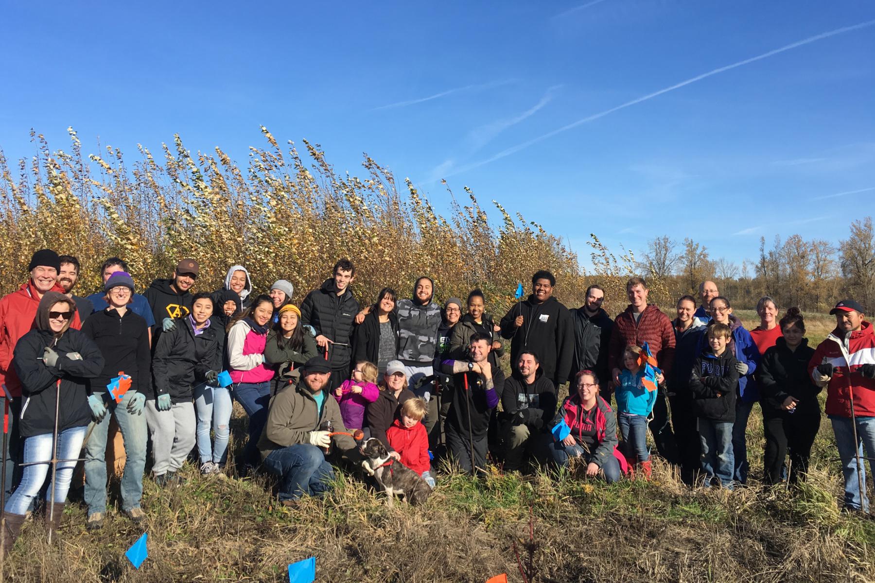
- Engaged 15,651 volunteers in plantings, water quality testing, data collection and water trail maintenance.
- In fiscal year 2023-24, volunteers contributed 18,591 hours of time, valued at more than $485,000.
- Students and volunteers have planted 232,746 native trees and shrubs in riparian corridors along the lower Columbia River.
- Created the Lower Columbia River Water Trail with interactive database and signage at key water trail sites.
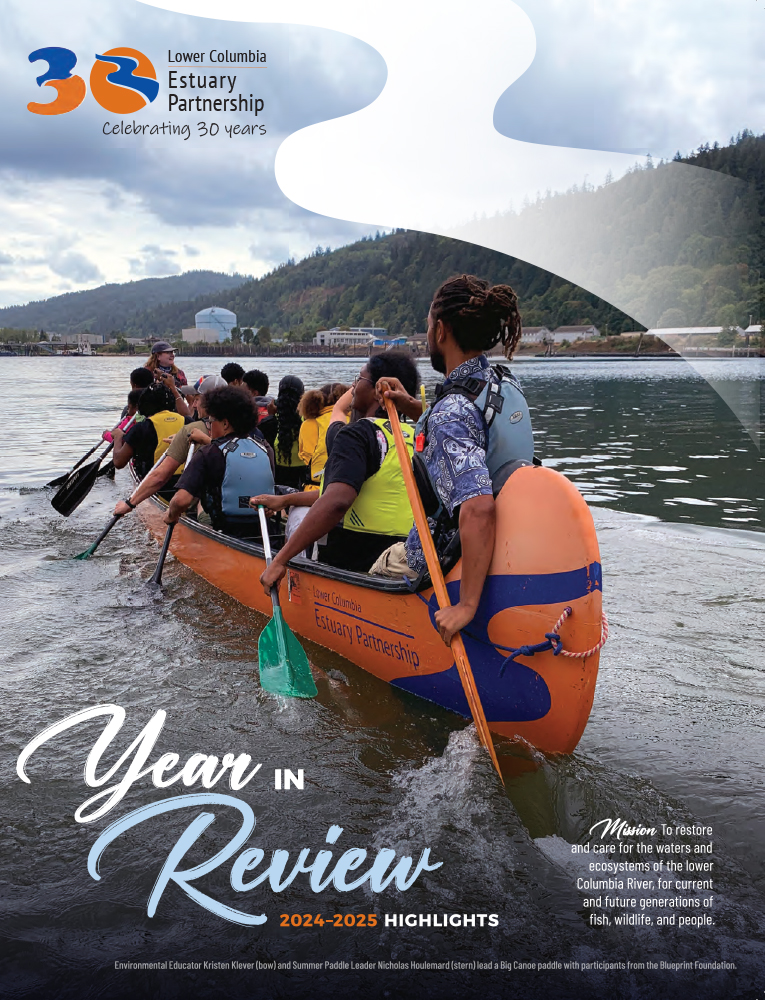
- Hosted 480 summer and community paddles. Since 2007, 31,659 students and adults have paddled our Big Canoes.
-
Building Regional Achievements
- Worked with regional partners and members of Congress to pass the Columbia River Basin Restoration Act, which was signed by President Obama in December 2016 and funded in 2019. The act authorizes the Columbia River Basin Restoration grant program administered by the U.S. EPA to help local groups voluntarily clean up, monitor, and reduce the use of toxics within the Columbia River Basin.
- Hosted forums, technical conferences, annual Science to Policy Summits, and scientific workshops to facilitate discussions among scientists and natural resource professionals and bring advancements in in science to a wide range of users.
- Leveraged funds to bring more than $112.6 million to the region.

