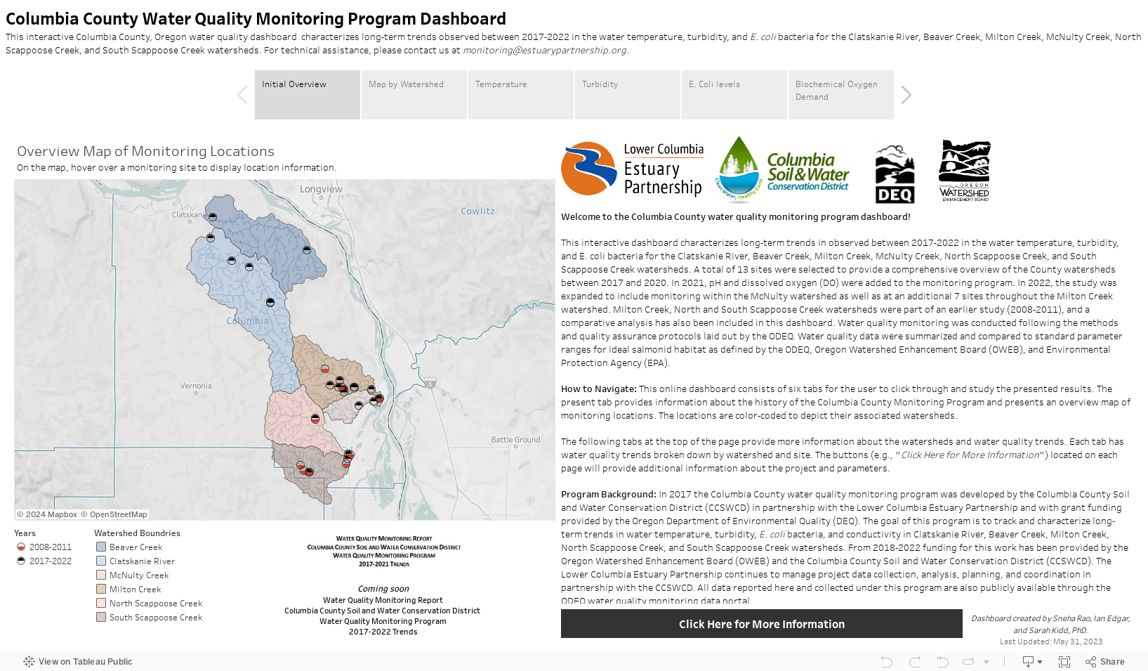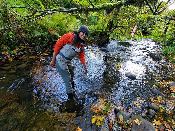
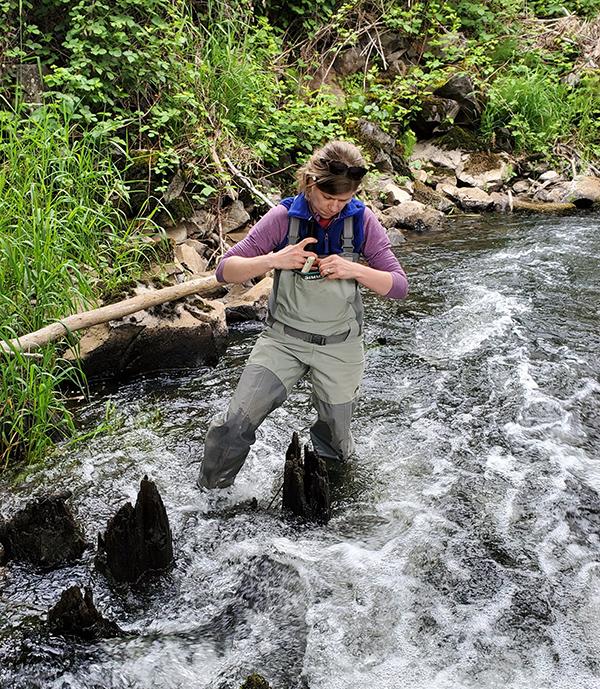
The Watershed Evaluation Program aims to characterize water quality conditions throughout the lower Columbia River basin, both in the mainstem and in smaller tributaries. Long-term monitoring data can then inform restoration projects and help assess whether rivers are meeting guidelines for safe usability.
Water Quality Criteria include:
-
Temperature
Aquatic organisms depend on a certain temperature range for optimal health. Monitoring the temperature allows us to evaluate trends and stressors.
-
Conductivity
Conductivity measures how well the water can conduct electrical current. Significant changes in conductivity may indicate pollution or discharge entering the stream.
-
Turbidity
Turbidity is a measure of suspended solids in water. High turbidity levels can harm aquatic organisms and affect physical features in the waterway.
-
Water Surface Elevation
Water surface elevation is monitored to evaluate changes in water depth over time.
-
E. coli/fecal coliform
Escherichia coli is a type of bacteria that comes from human and animal waste. The presence of E. Coli may also indicate other disease-causing organisms.
Additional information on water quality parameter ranges for salmonid habitat can be found on this document.
Partnering with Columbia Soil & Water Conservation District:
The Estuary Partnership submits water quality data from the Clatskanie River, Beaver Creek, Milton Creek, and Scappoose River watersheds to the Oregon Department of Environmental Quality. These reports are also used by the Columbia Soil and Water Conservation District, the Lower Columbia River Watershed Council, and the Scappoose Bay Watershed Council to evaluate usability and watershed health.
Watershed Evaluation Data