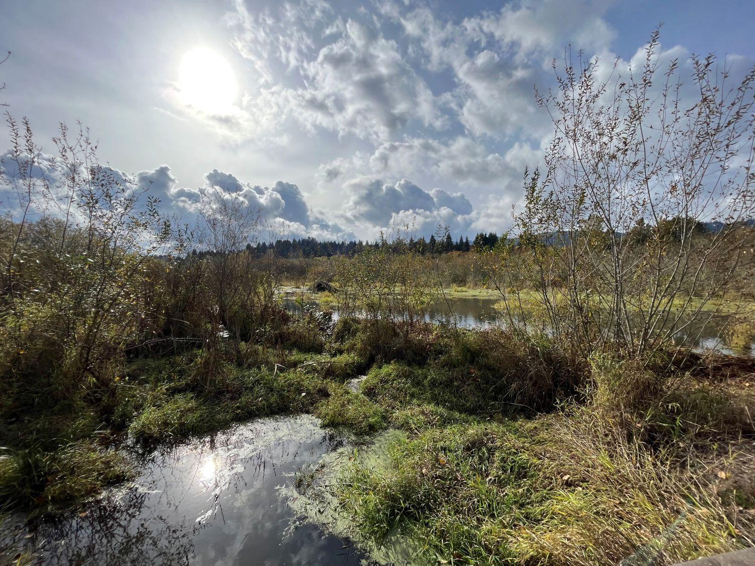
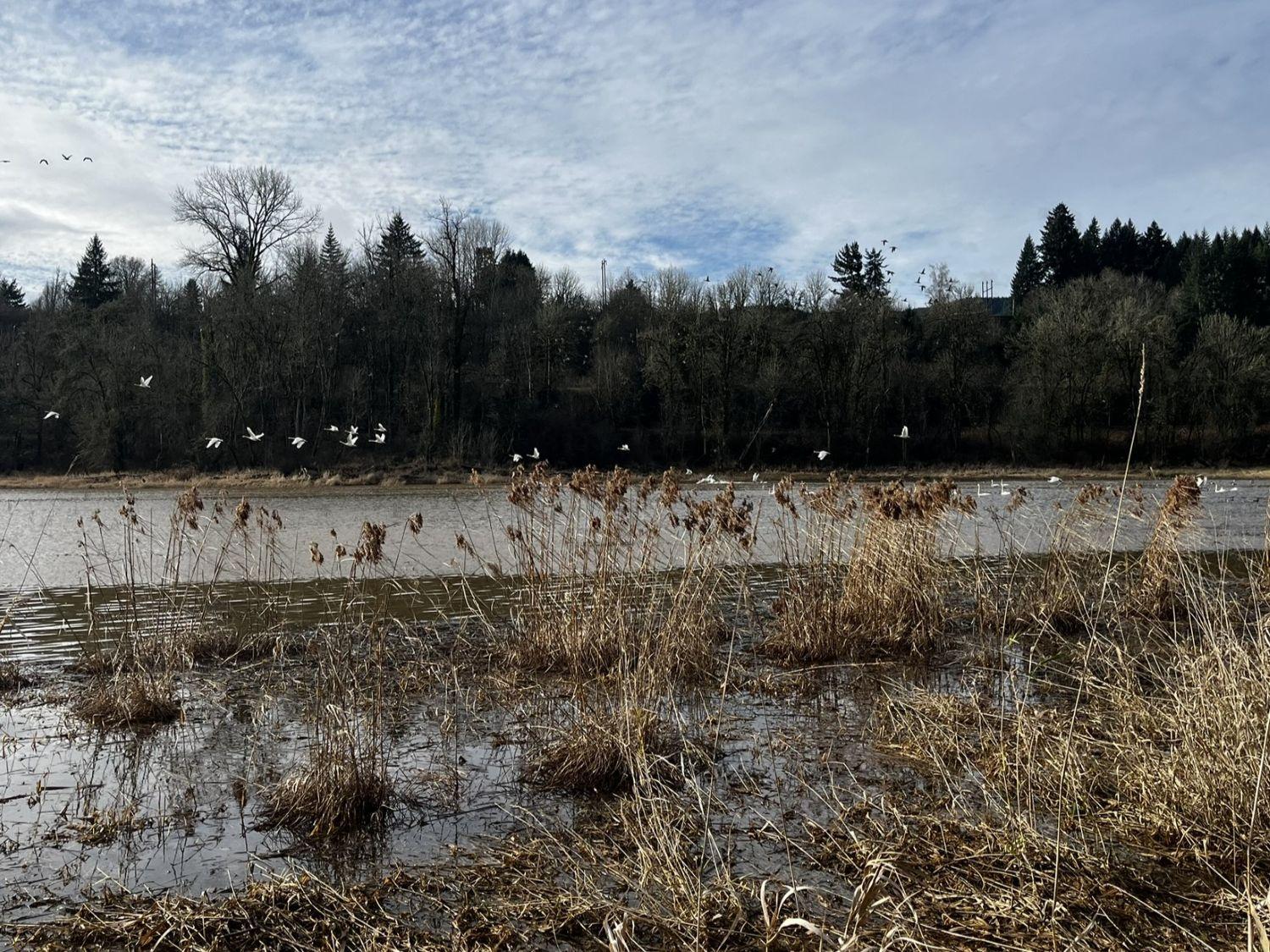
The Multnomah Channel Marsh is a 278-acre natural area located on a large floodplain tucked between the base of the Tualatin Mountains (the mountain range that includes Forest Park) and Multnomah Channel, a waterway connecting the Willamette and Columbia Rivers.
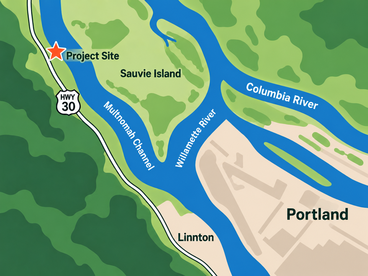
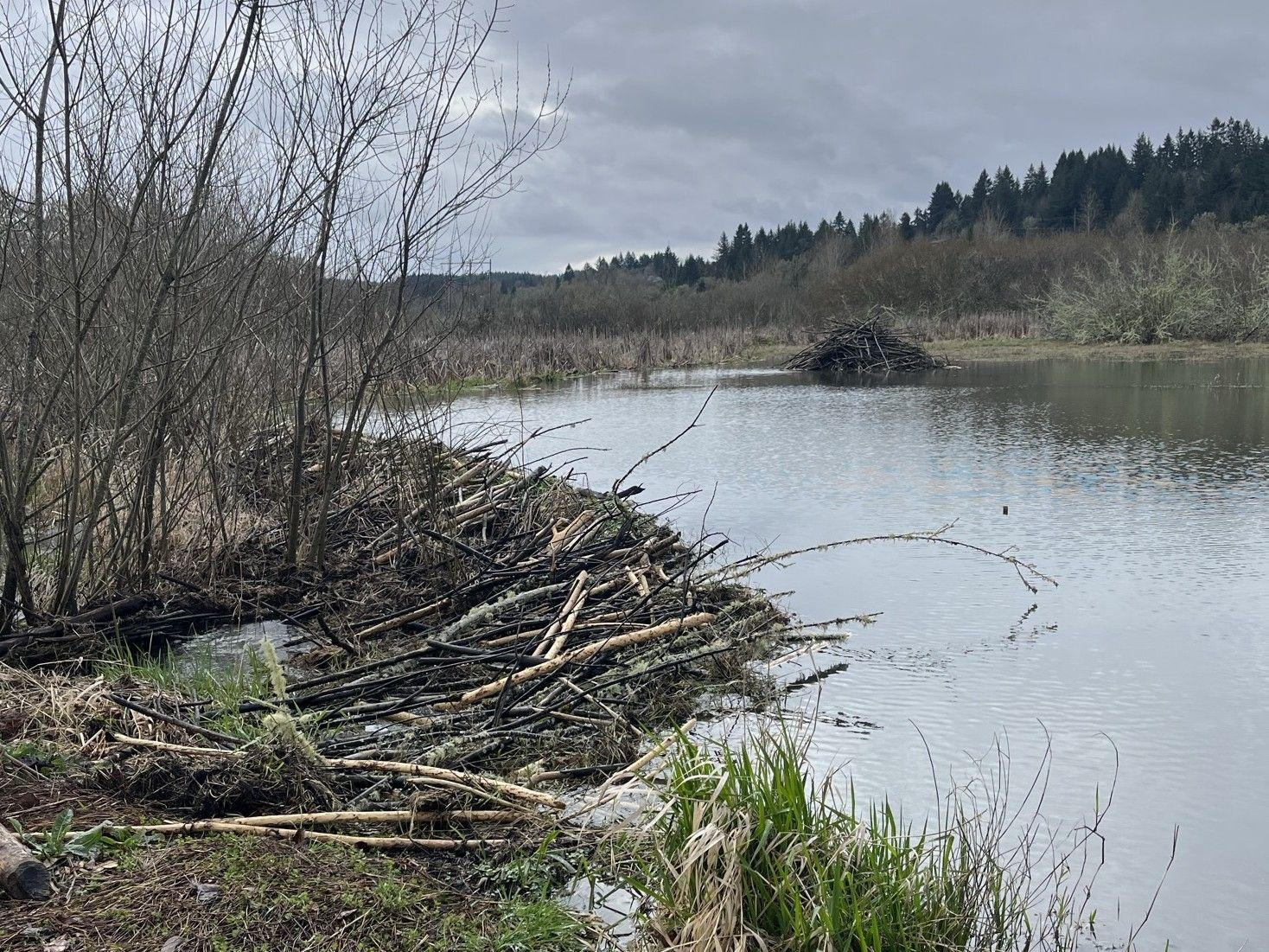
The complex hydrology at Multnomah Channel Marsh creates a diversity of suitable habitats for numerous sensitive, threatened and endangered species, including salmon and steelhead, Pacific lamprey, coastal cutthroat trout, northern red-legged frogs, native freshwater mussels, along with migratory birds such as trumpeter swans and sandhill cranes. The site is also home to a thriving population of beavers and great blue herons.
Several waterways come together at the Multnomah Channel Marsh:
- Crabapple Creek flows down from the Tualatin Mountains and through the Multnomah Channel Marsh before entering Multnomah Channel. Crabapple Creek is a critical source of cold, clean water that salmon rely on as they rear in the wetlands and migrate through Multnomah Channel;
- High water levels in both the Columbia and Willamette Rivers raise the water level in Multnomah Channel enough to overtop the banks and inundate the Multnomah Channel Marsh; and
- Tidal fluctuations from the Pacific Ocean affect Multnomah Channel and can backwater onto the site twice daily.
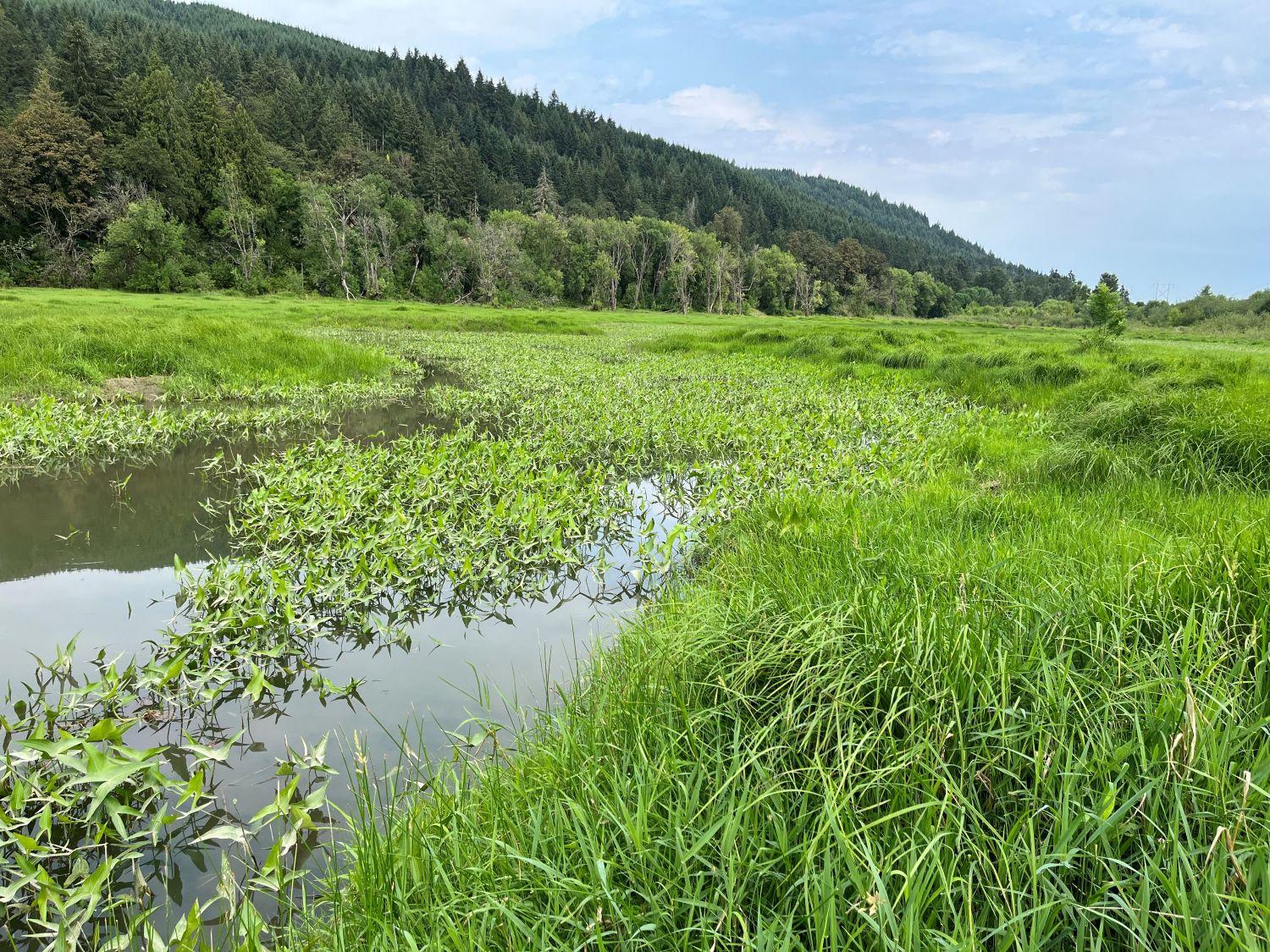
About the Multnomah Channel Marsh Reconnection Project
The Multnomah Channel Marsh Reconnection Project will restore the connectivity between Multnomah Channel, adjacent floodplain wetlands, and Crabapple Creek to improve habitat for salmon, lamprey, and other wildlife, and help restore native plant communities.
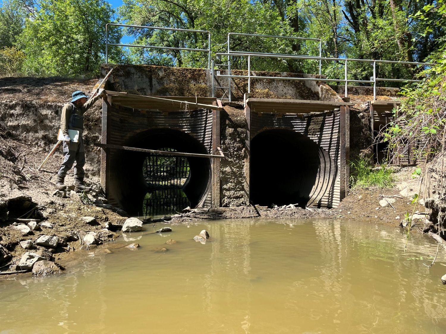
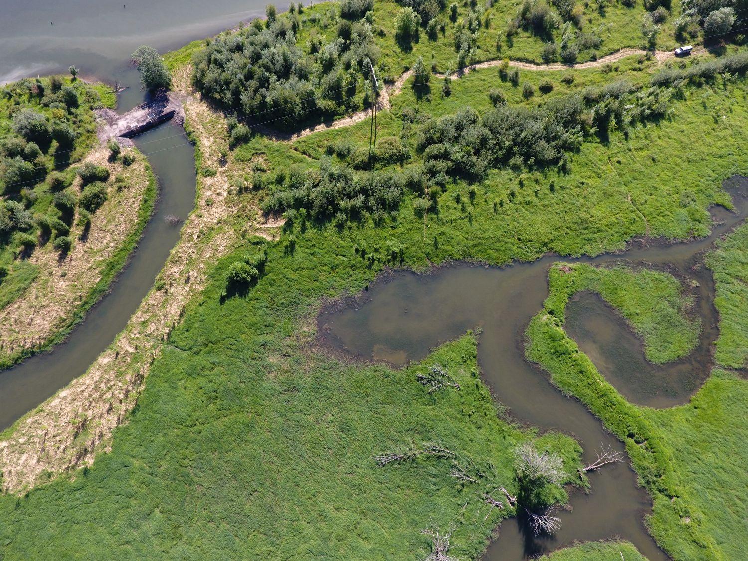
To accomplish these goals, the Estuary Partnership is working with Metro on a multi-year restoration project. Anticipated to begin in 2027, construction crews will remove two water control structures (one pictured below) that limit juvenile salmon from accessing the high-quality rearing habitat at the site and prevent adult salmon from reaching Crabapple Creek’s cool stream flows in summer conditions.
Crews will also breach the levee along Multnomah Channel to allow the site to be flooded more frequently when water levels in the Willamette and Columbia Rivers are high. Floodplain grading will also occur to increase the area of low-lying wetlands and topographic diversity on the floodplain. These changes will increase the frequency and area of flooding to benefit fish and wildlife while creating conditions where native plant communities can thrive and outcompete the invasive species currently dominating much of the area.
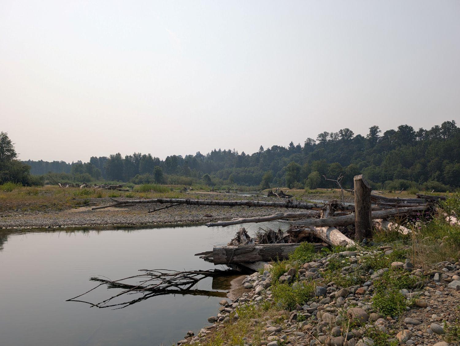
Large wood structures and beaver dam analogues (BDAs) will be installed into the streams and wetlands to improve salmon habitat by increasing cover, complexity, and wetland inundation. Large wood will also be placed along the edges of the wetland to provide turtle basking habitat.
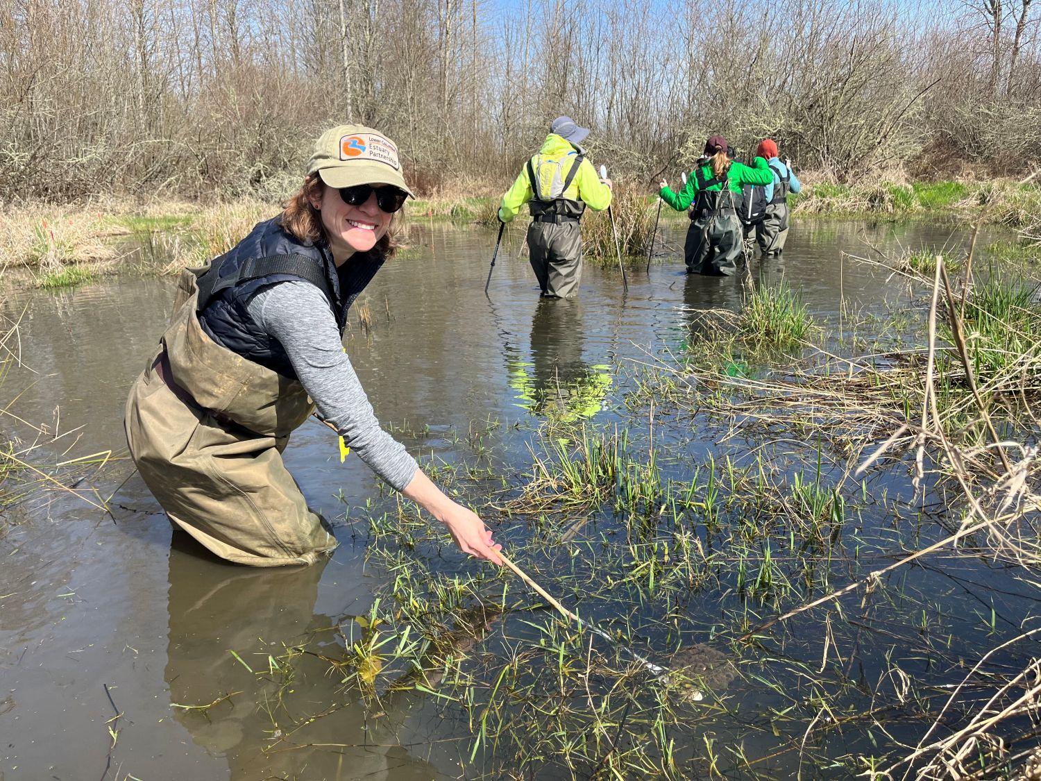
Community members and students are an important part of the Multnomah Channel Marsh Reconnection Project. Beginning in the fall of 2026, volunteers will plant between 2,000-4,000 willow trees in an area of the project that is currently dominated by invasive Reed Canarygrass. Following construction, 60 acres of the site will be planted with emergent marsh (i.e. wapato), wetland scrub-shrub (willow), and riparian forest (cottonwood), native plants that provide diverse vegetated habitats.
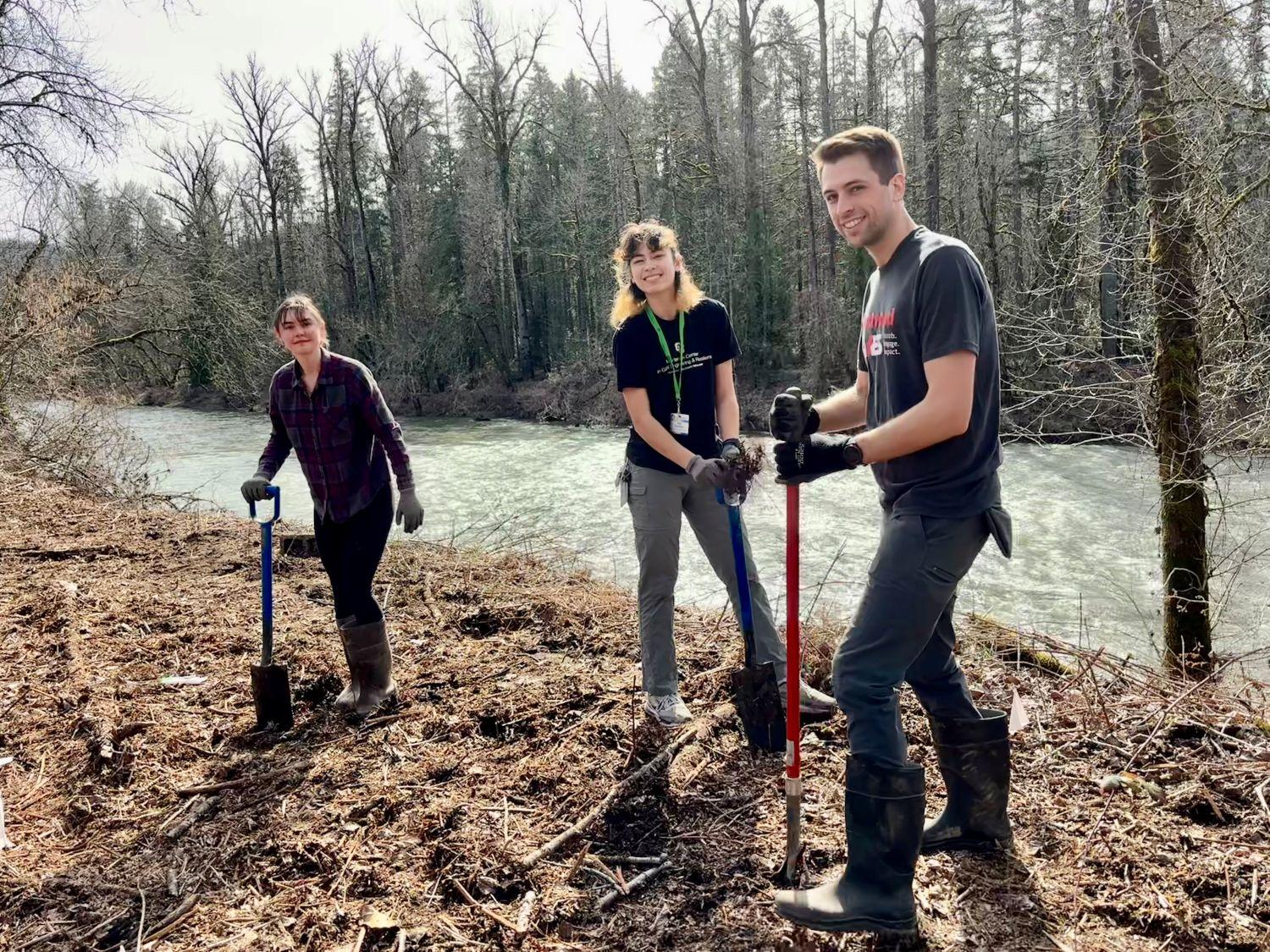
Thanks to Metro’s support and voters who invested in nature by passing the 2019 parks and nature bond measure.
-
Reach
F
-
Start Year
2027
-
Total Acres
278
-
Type
Habitat