Today, Hamilton Creek, located in the Columbia River Gorge in Skamania County, Washington, supports runs of coho salmon and steelhead. Historically, Hamilton Creek was home to abundant winter steelhead, chum, coho, and fall Chinook runs who utilized its diversity of aquatic habitats for their various life stage needs. Large sections of the creek were impacted by road development, timber harvest and forest fires, leaving it without the large wood jams and streamside vegetation that are necessary for healthy salmonid habitats. In 2017, the Estuary Partnership worked with the US Forest Service
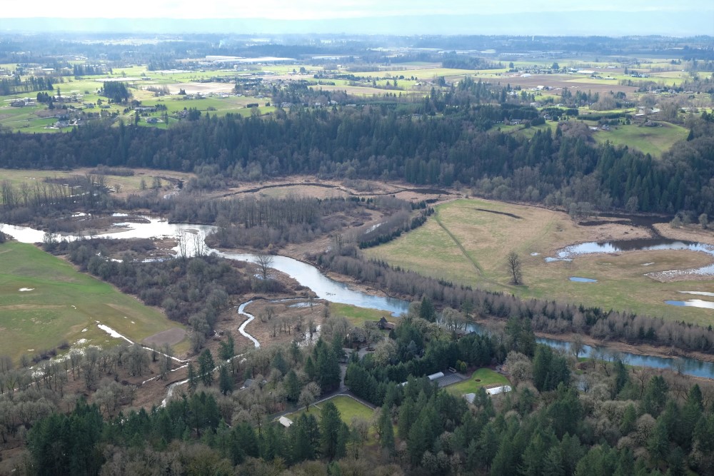
The East Fork Lewis River (EFLR) is an important stream in the lower Columbia River system. It is one of the few undammed rivers with no hatchery programs, and supports five runs of native fish including fall chinook, winter & summer steelhead, coho and chum. It has been a designated wild steelhead genetic sanctuary since 2014. In 2017, the Estuary Partnership worked with local partners to restore two side channels along the river for salmon and steelhead.
Aerial view of the EFLR
While the EFLR supports several salmonid stocks, the river and riparian areas have been impacted by dredging, mining, deforestation
Louisiana Swamp is a wetland site directly along the Columbia River, 4.5 miles west of Clatskanie. The landowner, a private forest products company GreenWood Resources, Inc. worked with the Estuary Partnership, Lower Columbia River Watershed Council, Columbia Soil and Water Conservation District and the US Fish and Wildlife Service to restore 35 acres of habitat at the site, and the project broke ground in August 2013.
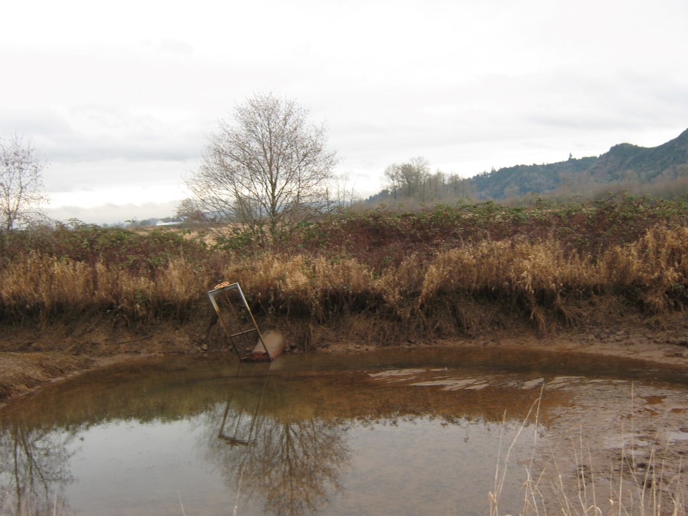
Failing tide gate on the site
Before the restoration began, the site was a marshy field of invasive reed canarygrass, and was too wet to farm trees like the rest of the property was used for. Westport
Thousand Acres is part of the 1,500 acre natural area at the confluence of the Sandy and Columbia rivers known as the Sandy River Delta in the Columbia River Gorge. The site, owned by the US Forest Service, was historically a dynamic alluvial floodplain with two distributaries of the Sandy River flowing across it and a mosaic of bottomland forests, wetlands and meadows. The site was severely impacted by deforestation, highway and railroad development, hydrology modifications, and cattle grazing. As a result, the floodplain wetland site became disconnected, had poor water quality, and was
Horsetail Creek, in the Columbia River Gorge, was historically a dynamic part of the Columbia River floodplain, with intact ash forest and scrub-shrub wetland vegetation habitat, and five creeks and sloughs connecting to the river that provided important habitat for salmon, steelhead and lamprey. Today, quality floodplain habitat is scarce for out-migrating salmon, and this important floodplain provides one of the last spots for these fish to rest and feed before traveling through the Portland-Vancouver Metro area where such habitat is severely limited.
La Center Bottoms is a series of wetlands along the East Fork Lewis River just upstream from the city of La Center. Clark County acquired a great deal of high-quality floodplain wetland habitat along the East Fork Lewis River through its Legacy Lands program, including the Bottoms, with the purpose of conserving natural resources as well as providing recreational access to the public. The East Fork Lewis is a high priority river for salmon and steelhead, and the County and the Estuary Partnership share the goal of protecting habitat in this area, so we partnered on a project that ultimately
In 2011, a private landowner reached out to her local Soil & Water Conservation District to begin a conversation. Her property is directly on the Columbia River, and she wanted to return it to a more natural state to support fish and wildlife. They were happy to start the conversation about how to make that happen.
The levee along Batwater Station before the project
Completed in 2015, the Batwater Station Floodplain Restoration Project reconnected a 26-acre tidal wetland to the lower Columbia River. The project benefits threatened and endangered species of salmon and steelhead and other native species. Located on private land near