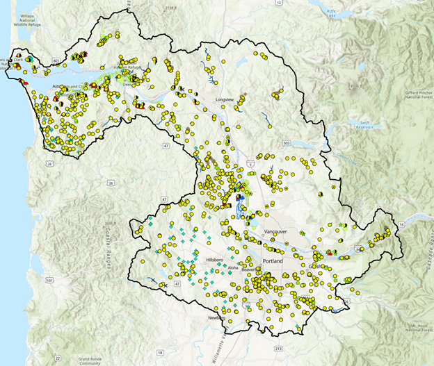
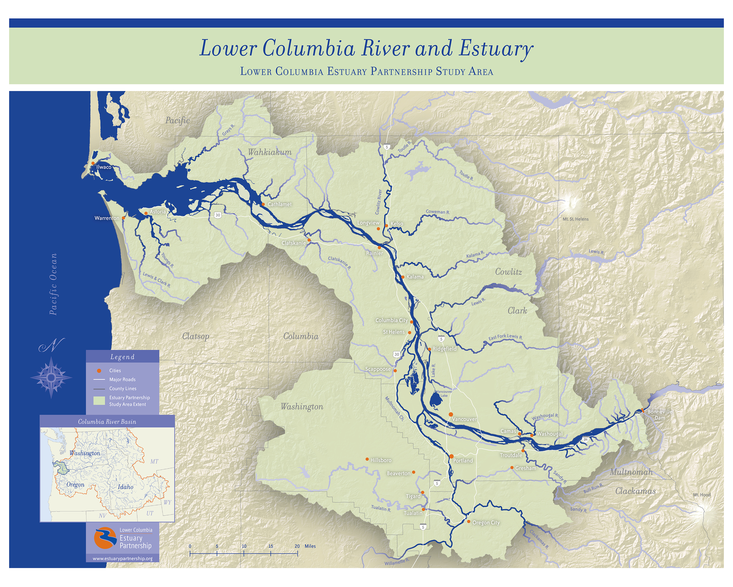
To celebrate and amplify stories of successful habitat conservation and restoration, the Estuary Partnership maintains a geospatial inventory of habitat restoration projects completed within the lower Columbia River and surrounding tributaries. The Habitat Restoration Inventory serves as a comprehensive hub for restoration and conservation activity that promotes the excellent work of partners throughout the Estuary Partnership Study Area.
The Restoration Inventory unites the efforts of nearly 100 regional partners – proving that small acts add up to big impact. From 1999-2025, our Restoration Inventory has tracked 284 completed restoration or conservation projects – totaling more than 35,000 acres!
Each year, the Estuary Partnership gathers restoration and project data from regional partners to update the Regional Inventory map. This information is also provided to the Environmental Protection Agency to tell the larger story of restoration and conservation successes, and to identify gaps, obstacles, and opportunities.
Beginning in 2024, the Estuary Partnership will use the projects submitted to the Restoration Inventory to create digital content for regional partners to utilize and will highlight some of the partner-led projects throughout the year. and will facilitate connections, collaborations, and skill sharing between restoration and conservation project managers through its Science Work Group and Columbia River Estuary Conference.
Projects shown on the map have all been implemented to some degree. Some have been completed, with no additional plans for restoration, while others have had multiple phases of activity, with potentially more planned. These different phases are captured in a 'Project Phases' table, which is also part of the map and is accessible from the Dashboard below.
Click map below to view the Habitat Restoration Inventory dashboard: