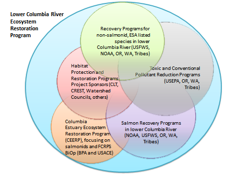
 The Estuary Partnership's approach to habitat restoration is guided by the framework of our Comprehensive Conservation and Management Plan, which calls for restoring the lower Columbia River's biological integrity and ecosystem structure and function. The lower River and it's estuary historically supported diverse and abundant populations of fish and wildlife, including some of the world's largest stocks of Pacific salmonid species. Anthropogenic changes dating back to the 1800s have significantly reduced the quantity and quality of habitat available to fish and wildlife species. Our habitat restoration program overlaps with the larger Columbia River Ecosystem Restoration Program (CEERP), an umbrella program that encompasses the restoration goals and objectives of several regional partners. Together with these partners, we have followed an adaptive, scientifically based approach to ecosystem-based restoration, which helps ensure that funding dollars are being applied to technically sound and strategically located projects that provide the greatest overall benefit to the ecosystem as a whole.
To aid this scientific approach we have developed a number of spatial data sets over the years that can help restoration practitioners, including ourselves, to locate and design restoration projects. Most of these are focused on aquatic and wetlands habitats to support salmon recovery, but others are more holistic, or geared towards other species. Some of the data sets, such as our Historical Habitat Change analysis, serve as criteria for evaluating CEERP project applications as part of our restoration project funding and Project Review Committee. Funding for the development of these landscape assessment data tools was provided by the U.S. Environmental Protection Agency and Bonneville Power Administration's Fish and Wildlife program.
Viewing and obtaining our Landscape Assessment Data
Data sets that we, and others, have developed are described below or at the following links. The spatial layers can be viewed in the interactive map at the bottom of the page, which also includes a regional inventory of lower Columbia River restoration activity that we maintain. To obtain any of the Estuary Partnership landscape assessment data sets in GIS formats, please contact our GIS staff.
Primary Estuary Partnership Landscape Assessment Data Sets
Additional Estuary Partnership Landscape Assessment Data Sets
The following data layers were created many years ago and in most cases have not been updated recently, but can still be useful for restoration project assessment or other tasks.
-
Lower Columbia Floodplain Tidally-Impaired Lands (2009)
The tidally impaired lands data set shows the approximate extent of 'regular', or 'annual' present-day hydrologic inundation of the floodplain due to combined tidal and fluvial influences, and the extent to which this inundation has been blocked due to human activities such as levee building, development, and river flow alteration. This blockage has resulted in a significant loss of habitat for juvenile salmonids and other species, which rely on floodplain wetlands habitats for survival. This data layer can be used to locate these isolated areas, and in combination with other data (such as land parcel ownership) can be used to identify areas which could potentially be available for restoration. We periodically try to update the data to reflect the impacts of completed restoration, which often results in re-connection of these historical tidal/fluvial wetlands habitats.
-
Lower Columbia River Counties Public Lands Inventory (updated 2012)
Public land parcels throughout the lower Columbia floodplain, complied from OR and WA county parcel data sets.
-
Lower Columbia River Floodplain Point Barrier Inventory (Updated 2014)
Includes flow barriers such as culverts, tidegates, and water control structures. Sources include state of Oregon and Washington barrier inventories as well as our own tidegate inventory.
-
Lower Columbia River Floodplain Landscape Disturbance Model (2005)
Developed in 2006 by the Pacific Northwest National Laboratory's Marine Science Lab, with funding provided by Bonneville Power Administration. The Landscape Disturbance Model incorporates data for a series of stressors to model relative anthropogenic disturbance of the lower Columbia River floodplain at 2 spatial scales: site and landscape. At the landscape scale the floodplain is comprised of 60 'Management Areas' whose boundaries are defined by the USGS HUC 6 sub watersheds. The site scale uses smaller catchment boundaries, to divide the floodplain into approximately 2100 'sites.' The relationship between the disturbance score at the landscape versus site scales can be used to predict what types of restoration strategies may have the highest probability of success for a given location.