2025 marks the 30th anniversary of the Lower Columbia Estuary Partnership!
Here are just a few of the highlights of our three decades of protecting, restoring, and caring for the lower Columbia River.
The Origins
1987
Amendments to the Clean Water Act authorize the National Estuary Program.
1990-1996
Lower Columbia River Bi-State Program is convened, co-administered by Washington Department of Ecology and Oregon Department of Environmental Quality, and housed under DEQ. A series of Bi-State Studies measure current and historic ecosystem and watershed health.
1995
The Lower Columbia River Estuary is nominated and accepted to the National Estuary Program, and is declared to be an “estuary of national significance.”
1999
The first Comprehensive Conservation and Management Plan is completed and adopted. The plan is submitted to the EPA by Governors John Kitzhaber of Oregon and Gary Locke of Washington. The process took more than 3 years and more than 150 people across more than 100 agencies and municipalities were involved.
Photo: Governor John Kitzhaber (Oregon), Estuary Partnership Executive Director Debrah Marriott, and Governor Gary Locke (Washington) at the Management Plan signing ceremony.

2000
Our first environmental education programs take place. Some of the first students we work with are 2nd graders from Raleigh Park Elementary in Beaverton (pictured).
2001
The Lower Columbia River Estuary Partnership is incorporated as a 501(c)3 nonprofit.
Photo: Implementation Committee meeting, July 2001
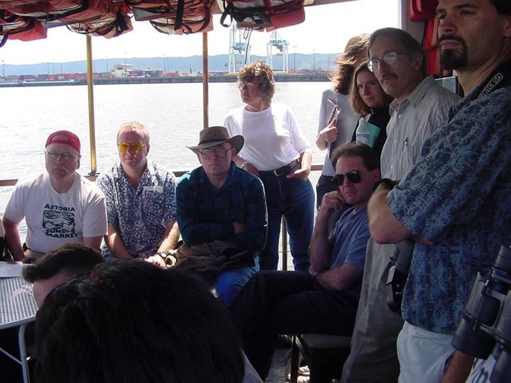
2001
The Estuary Partnership convenes its first Water Trail committee meeting. The Columbia has been used as a transportation corridor for millenia by Chinookan-, Sahaptin-, and Salish-speaking peoples. But modern communities lacked information about paddling the river, like where to launch, land, and camp. More than 150 people were involved in Water Trail planning meetings.
2001
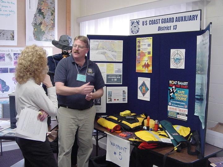
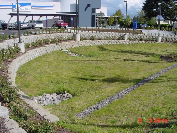
The Estuary Partnership worked with the City of Oregon City and City of Longview on Project NEMO – NonPoint Education for Municipal Officials. This marked our first foray into reducing the impacts of polluted stormwater runoff.
Photo: A stormwater swale in Oregon City in 2000
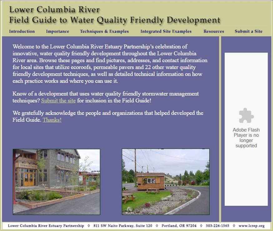
2003
Our Field Guide to Water Quality Friendly Development goes live online. The guide includes dozens of techniques and local examples of stormwater treatment.
2003
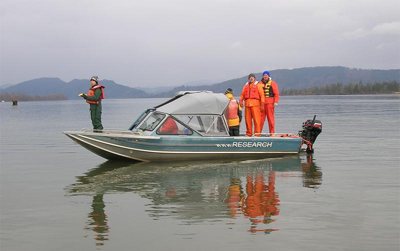
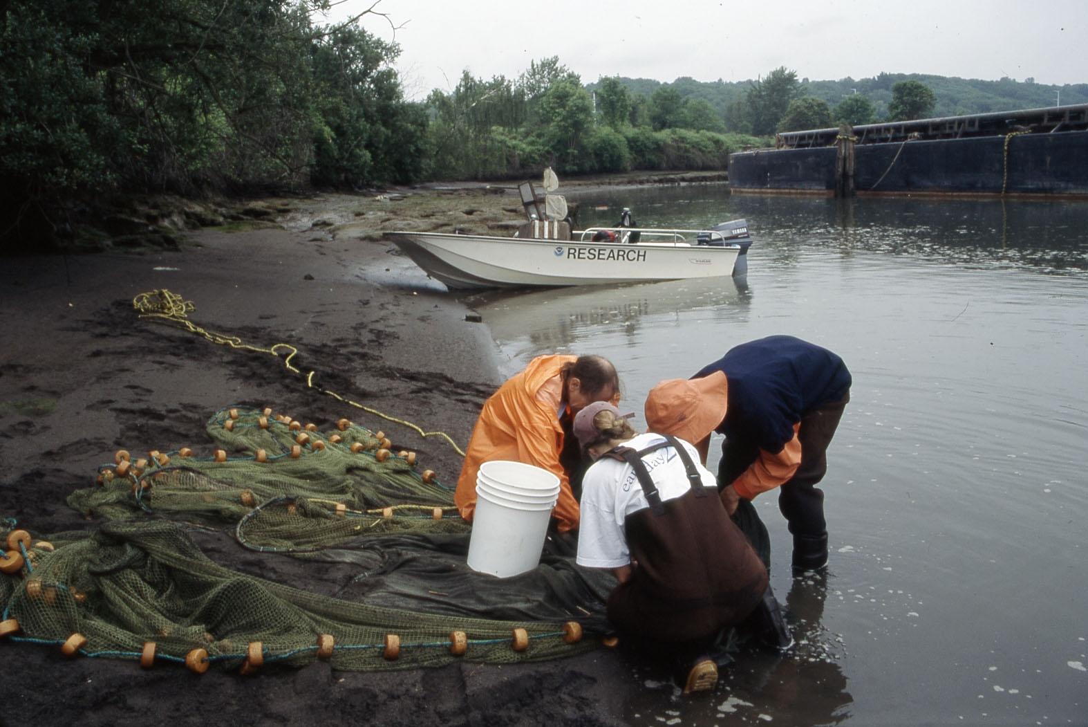
Our Ecosystem Monitoring Program begins. The program provides long-term data to assess the status and trends of the aquatic habitats, with a focus on the least disturbed sites.
Photo: Beach seining for juvenile salmon
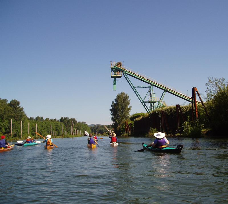
2004
The Lower Columbia River Water Trail is launched. Ceremonies are held at Fort Clatsop, Skamokawa, St. Helens, and Vancouver. The Water Trail is the last section of the Lewis and Clark National Historic Trail.
Photo: Paddling during the launch ceremony in Skamokawa
![]()
2006
The Estuary Partnership launches our first schoolyard stormwater project at Centennial Learning Center.
2007
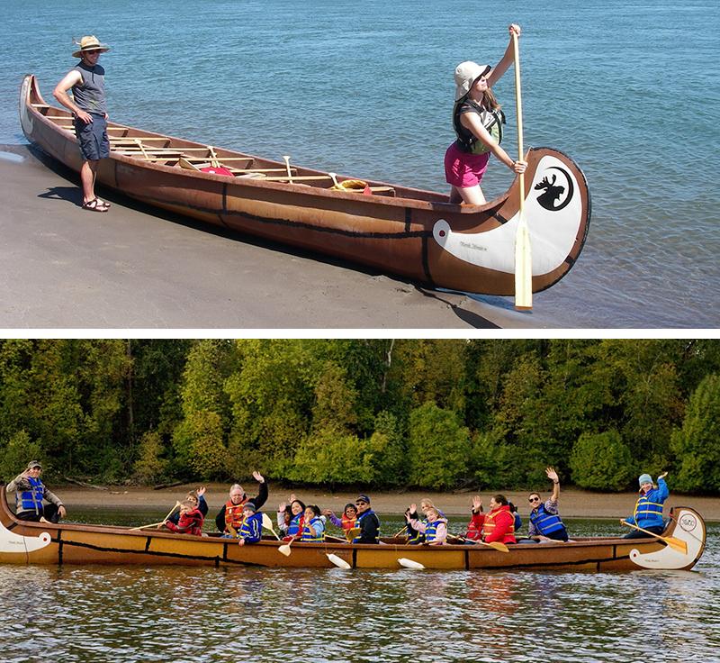
The Estuary Partnership purchased our first two Big Canoes to provide on water experiences to the community: used voyageur canoes named Moose and Osprey. Each canoe fits up to 17 paddlers in addition to the staff guides in bow and stern.
2009
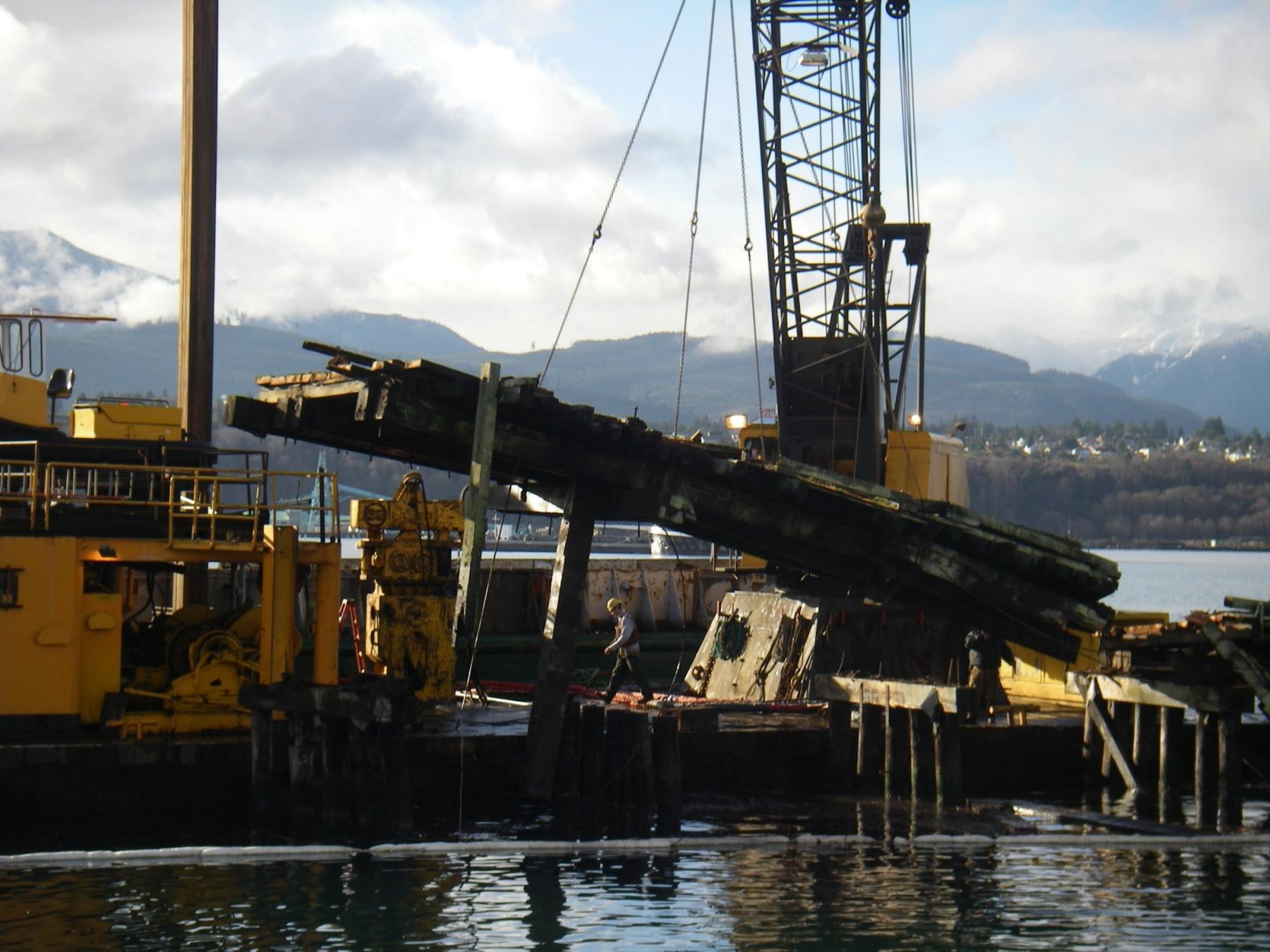
While we funded restoration projects led by other agencies (more than 50 by 2009!), the Estuary Partnership led implementation for its first habitat restoration project in 2009 in Coal Creek Slough. The project removed more than 200 derelict pilings and over-water structures, as well as two derelict vessels to improve off-channel habitat important to salmon.
2010
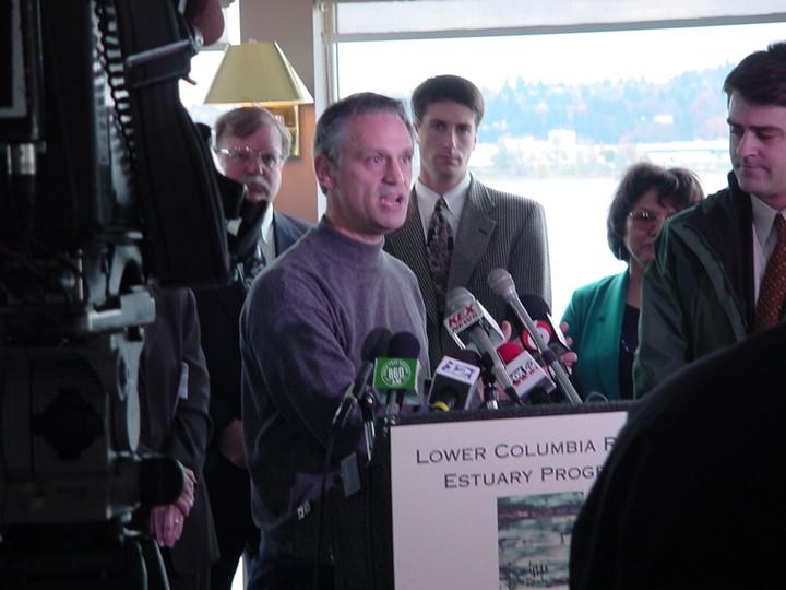
Senator Merkley and Congressman Blumenauer first introduce the Columbia River Restoration Act. The act would elevate the status of the Columbia Basin to that of other great water bodies such as Chesapeake Bay and bring millions to the region for toxics reduction and monitoring.
Photo: Congressman Earl Blumenauer, a longtime supporter of the Estuary Partnership, speaks at a press conference in 2000.
2010
The Estuary Partnership publishes its Land Cover Data Set identifying the various habitats and land uses throughout our study area. The high resolution land cover classification map was made utilizing aerial imagery, LiDAR, LandSAT and other supporting data sets, and supports restoration and monitoring efforts.
Photo: Large wood placement at Mirror Lake at Rooster Rock State Park, one of our earliest habitat restoration projects, in 2010.
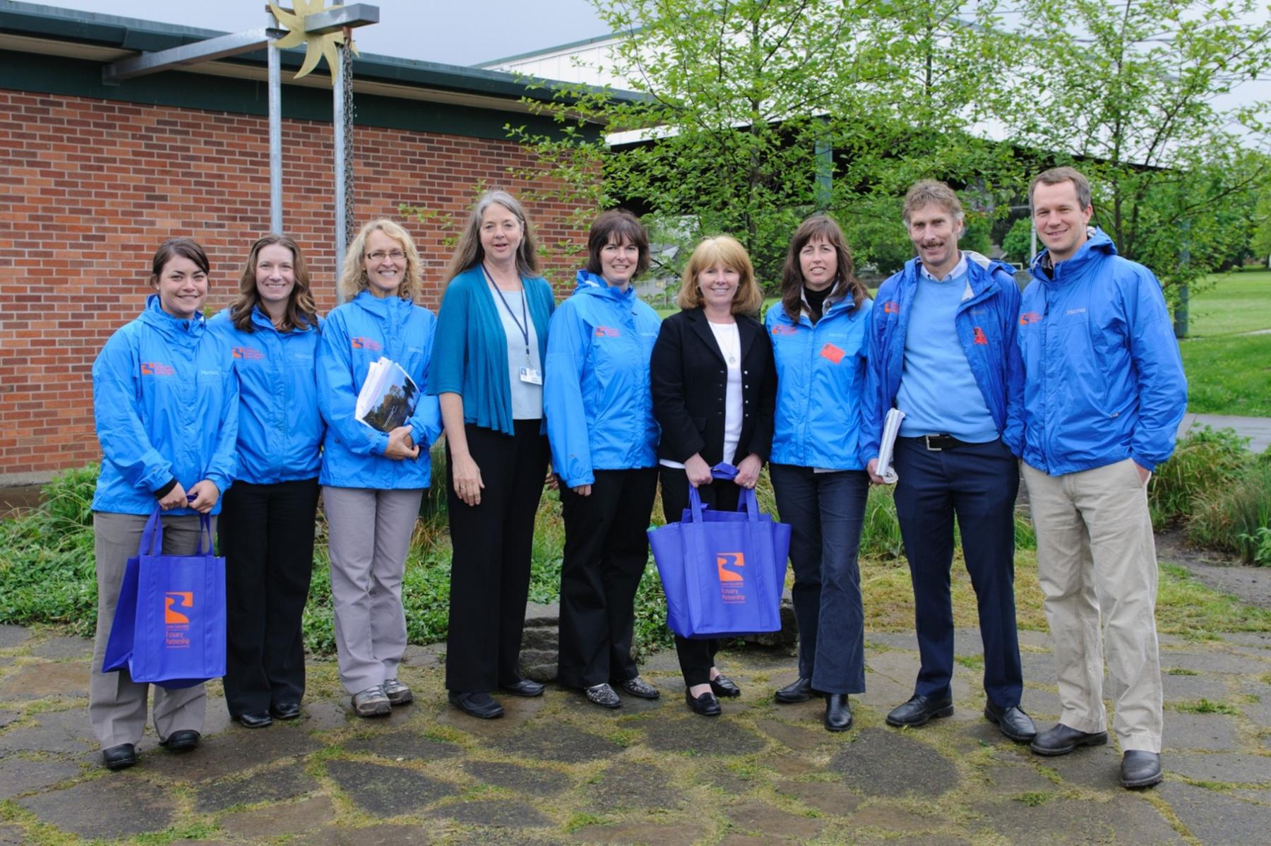
2011
We drop “river” from our name and become the Lower Columbia Estuary Partnership.
Photo: Lower Columbia Estuary Partnership staff in 2012
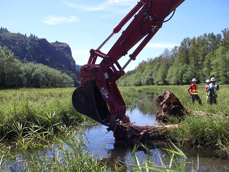
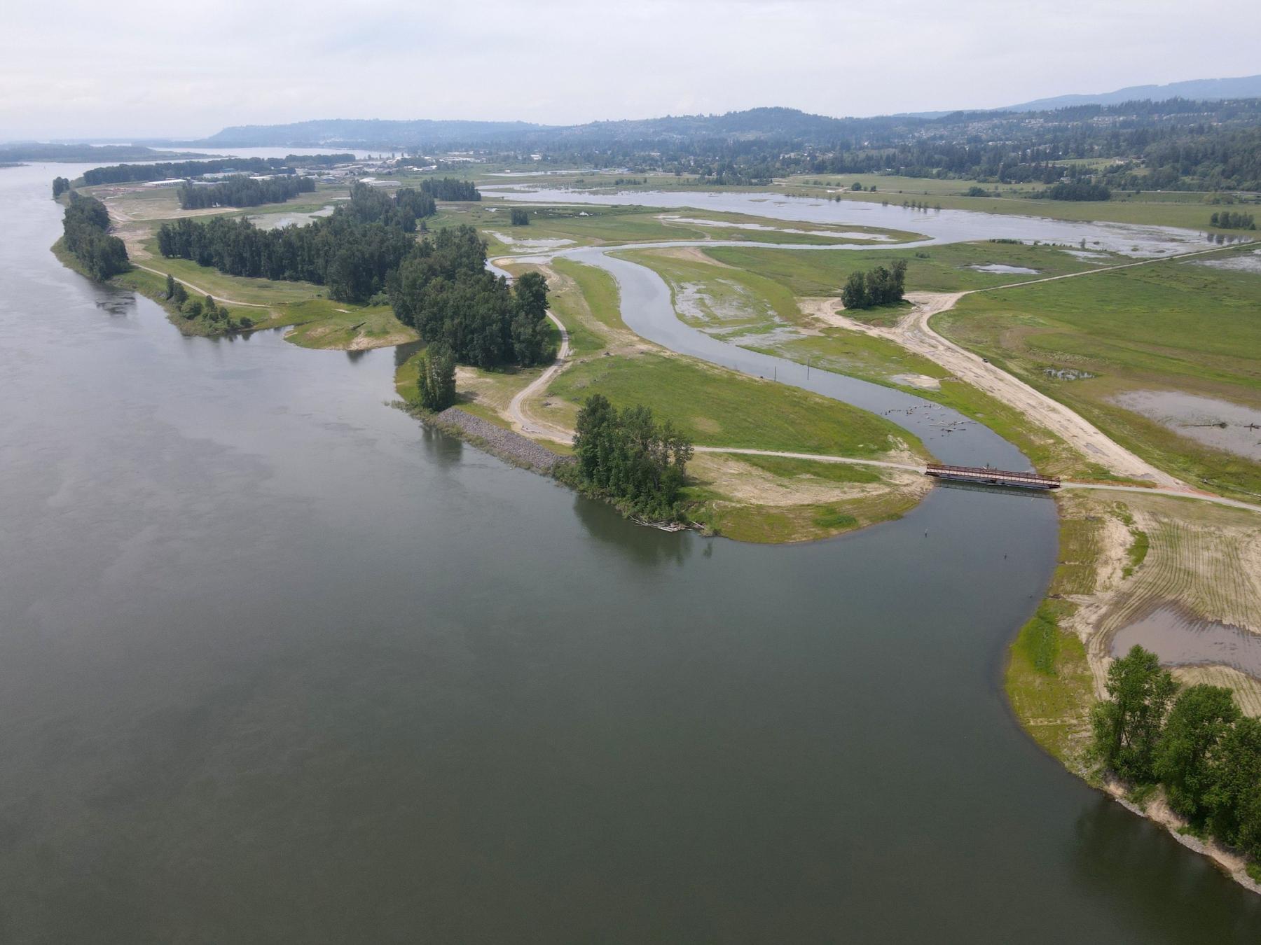
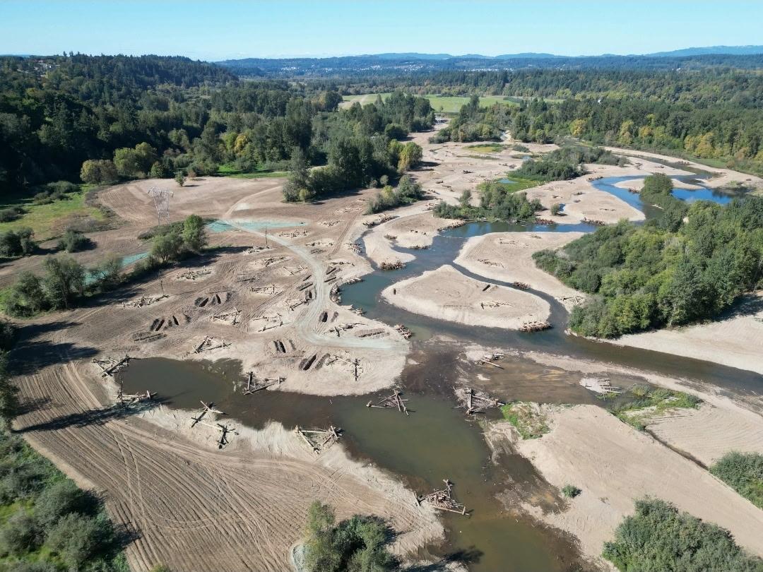
2013
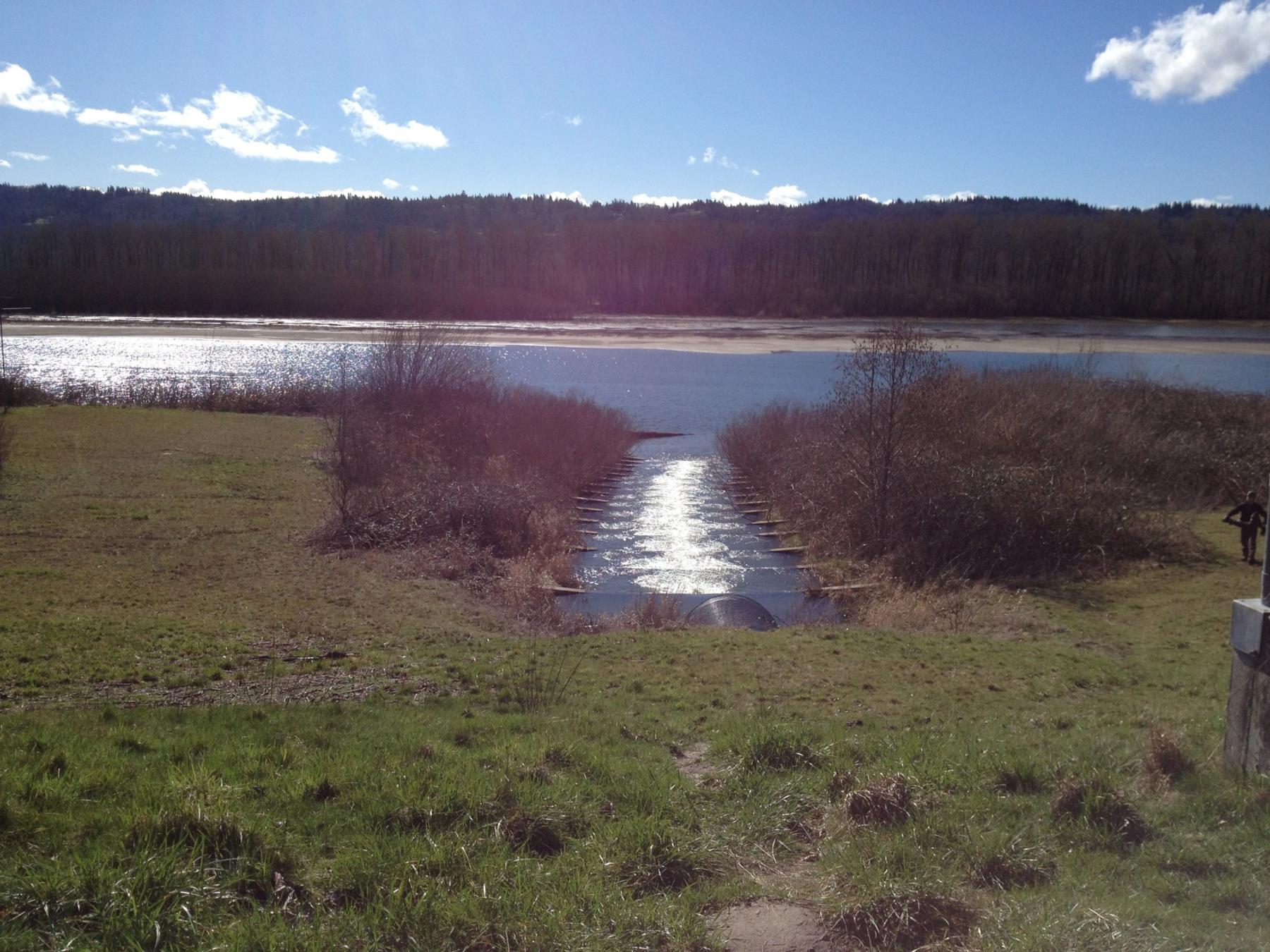
Work was first initiated on the Steigerwald Habitat Restoration and Flood Control Project, later dubbed the Steigerwald Reconnection Project. The project would take nearly a decade before construction was complete.
Photo: The fish ladder to Gibbons Creek in 2013. The project removed the failing fish ladder, breached the levee system, and opened more than 900 acres of floodplain habitat to salmon.
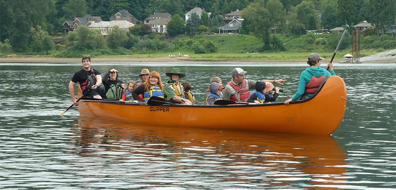
2016
The Estuary Partnership purchased new orange Big Canoes and retired the old canoes. These canoes are dubbed Osprey and Kingfisher after birds that are commonly seen on Big Canoe paddles.
By 2025, more than 32,000 people will have paddled in our Big Canoes.
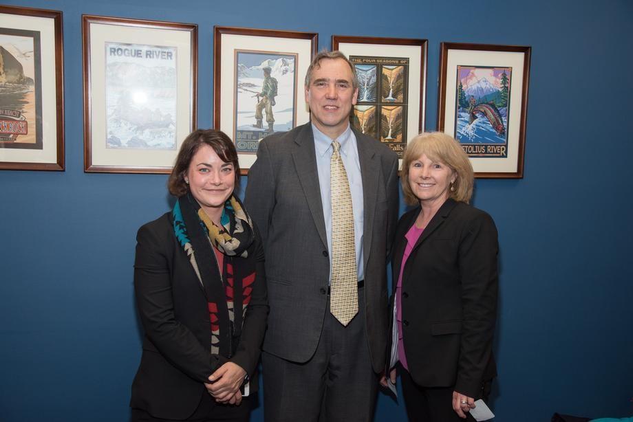
2016
The Columbia River Basin Restoration Act was passed by Congress and signed into law. This law was championed by Senator Jeff Merkley and Congressman Earl Blumenauer. This legislation has brought $81 million to the Basin to date.
Photo: Former Community Relations Manager Vanessa Bird and Executive Director Debrah Marriott with Senator Merkley in 2016.
2016
The Estuary Partnership adopts new habitat coverage targets. Using our Land Cover Data Set, we created new, resource-based targets that focus on maintaining the remaining native habitats and restoring priority habitats—those habitats that suffered the most loss.
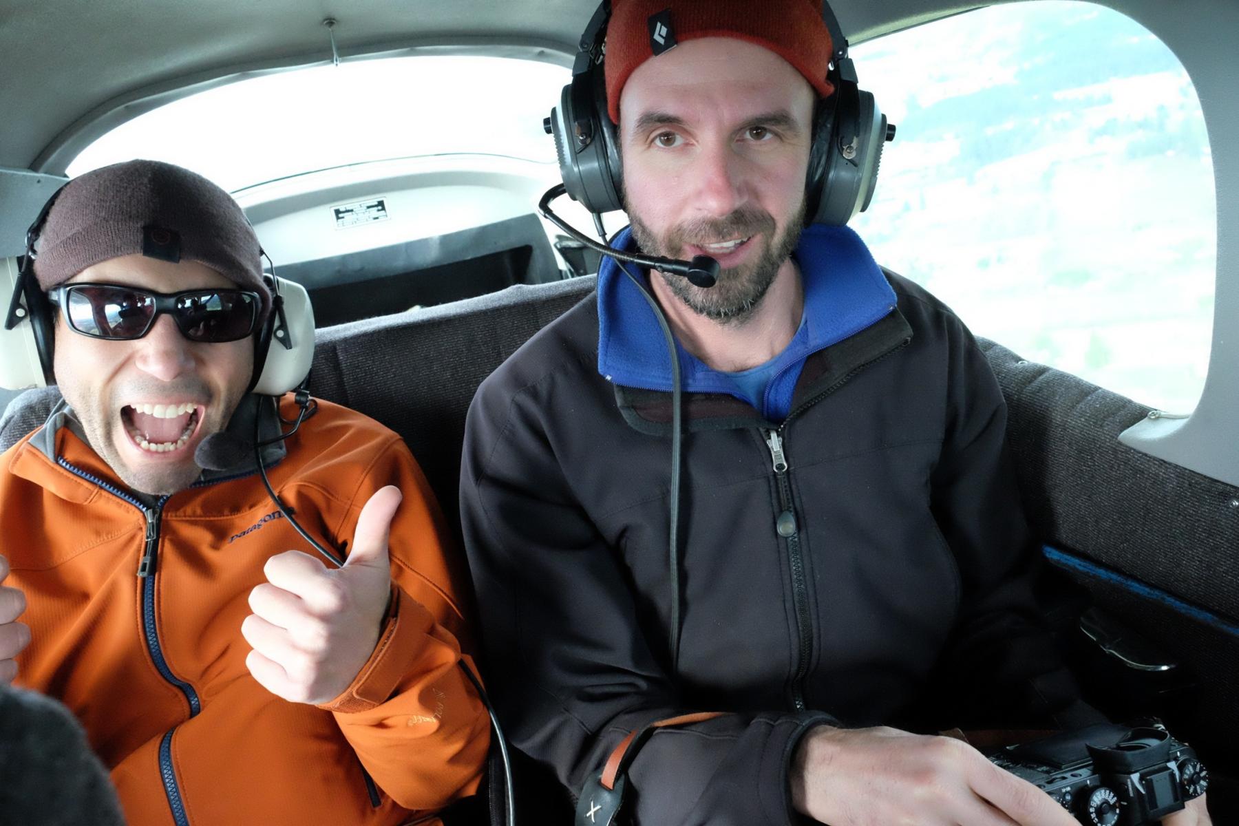
Photo: Former Research Scientist Matthew Schwartz and current GIS and Data Management Specialist Keith Marcoe gathering aerial images with LightHawk in 2016.
2016
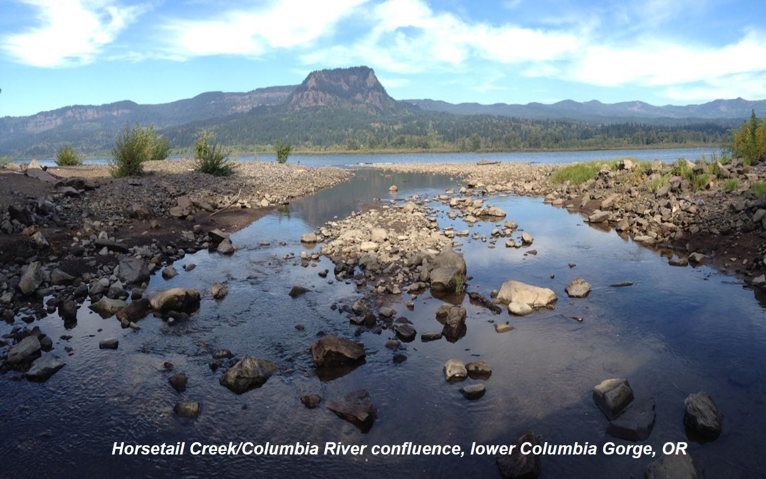
The Estuary Partnership completed a study on enhancing Cold Water Refuges for salmon by modeling flow diversion structures at tributary confluences. Models show these structures will increase areas of cold water, cueing migrating fish into a place to rest out of the warm mainstem waters.
2016
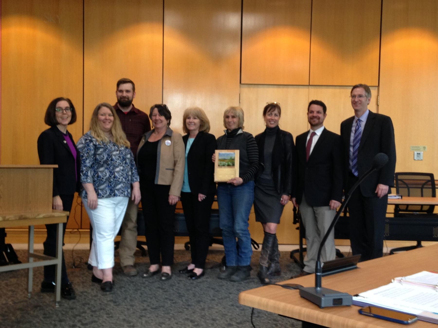
Our Batwater Station Floodplain Restoration wins the Oregon Land Use Board Wetland Project Award.
2017
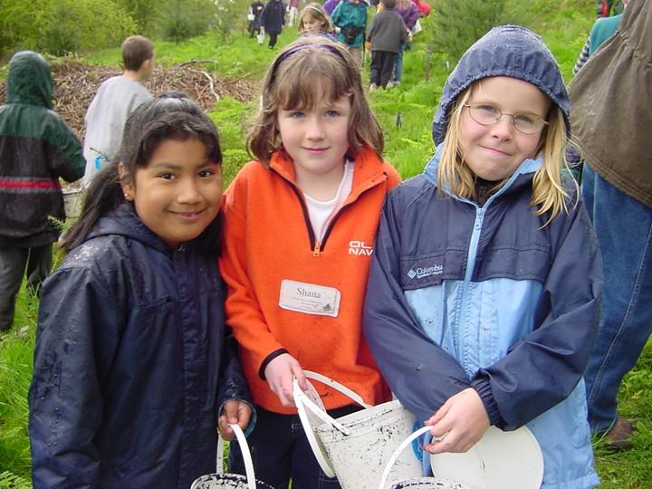
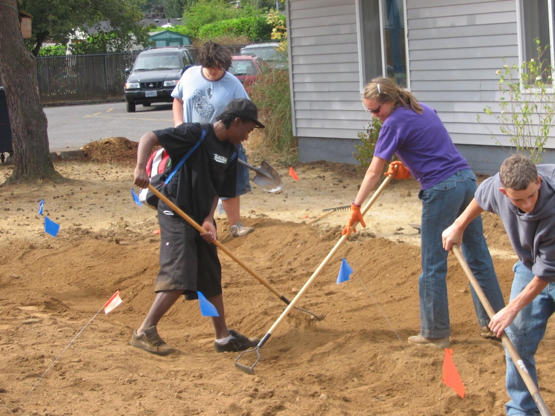
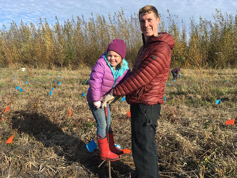
We plant nearly 17,000 native trees and shrubs with students and volunteers this year alone, bringing our total number planted to more than 100,000 (109,695 to be exact).
Photo: Volunteers plant at Sandy River Delta in 2017. The Estuary Partnership has been working with volunteers to improve this site since 2014.
2019
The Estuary Partnership finishes a series of maps detailing the predicted effects of Sea Level Rise on tidal wetlands throughout the lower river and estuary. The analysis detailed three scenarios based on different amounts of sea level rise and identified tidal wetlands that would be gained, lost, and relatively unchanged.
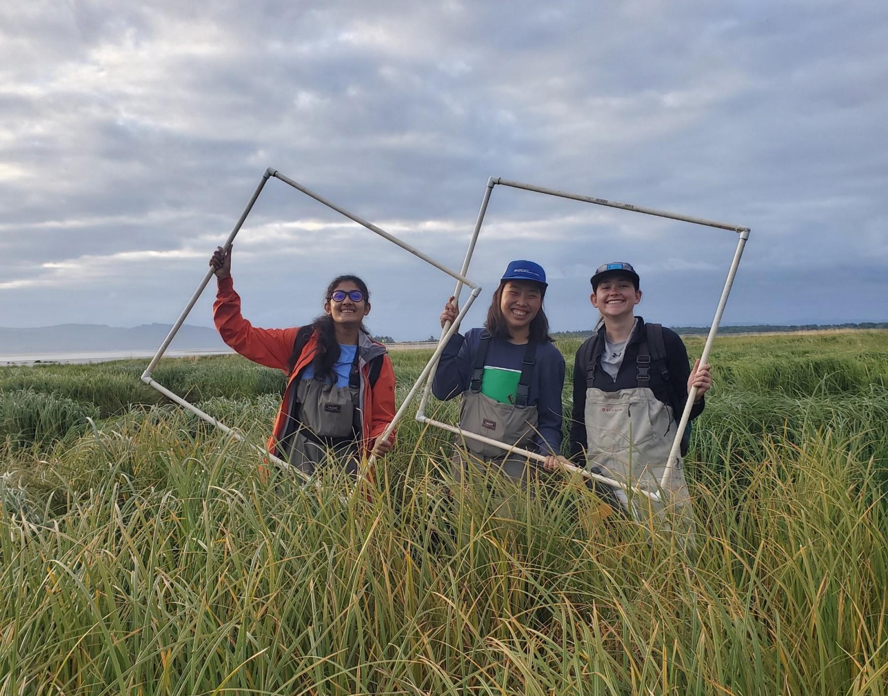
Photo: The Monitoring Team - former Research Scientist Sneha Rao and former Field Technicians Tiffany Thio and Grace Brennan - in the field near Ilwaco in 2019.
2020-2022
The Steigerwald Reconnection Project is constructed. The project is a collaboration between 17 private and public partners and funders. It remains the largest restoration project to date on the lower Columbia River.
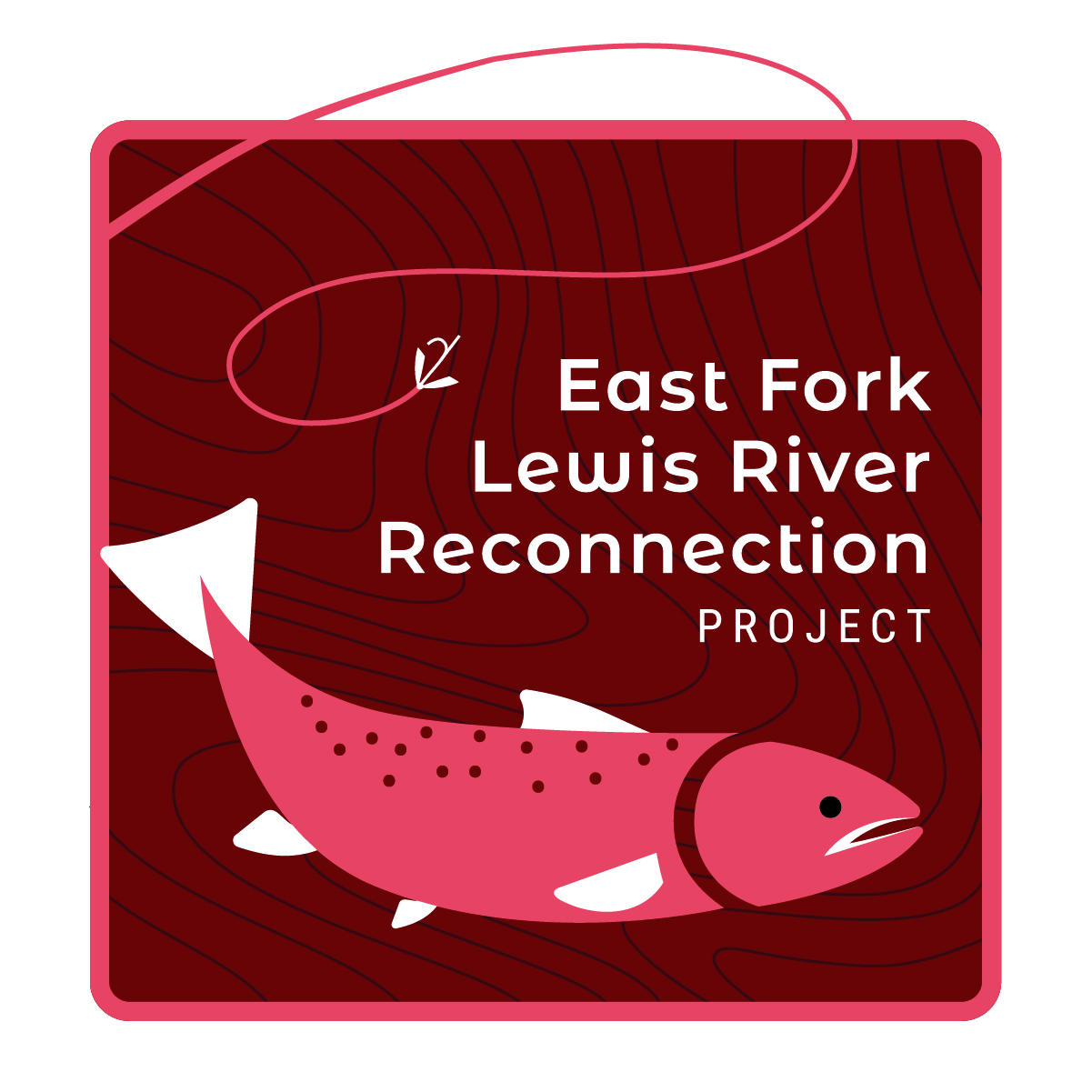
2025
The East Fork Lewis River Reconnection Project breaks ground. Once complete, this project will restore a three-mile stretch of this wild steelhead gene bank.
2025
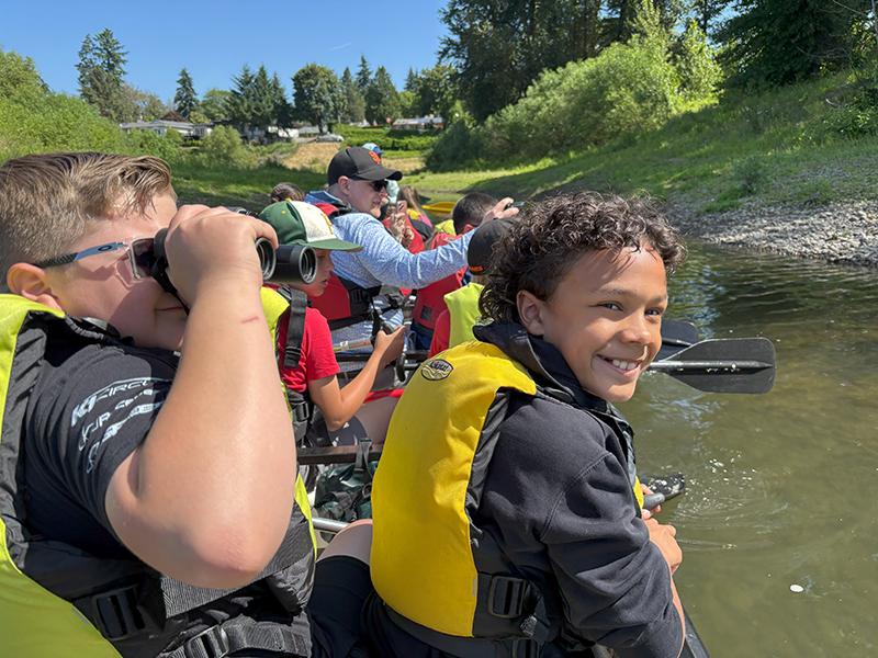
The Estuary Partnership’s Environmental Education team reaches its 100,000th student!