Unmanned Aerial Vehicles (UAVs or drones) are becoming more and more common, and have numerous uses for restoration practitioners beyond amazing photographs and footage.
The Estuary Partnership uses a drone to capture aerial images of the ground and plant communities across our project sites and tidal wetland study areas.
There are currently 4 FAA licensed commercial drone pilots on staff. We work with project sponsors, landowners, and refuge managers to ensure all federal and local requirements and safety protocols are followed during all drone flights.
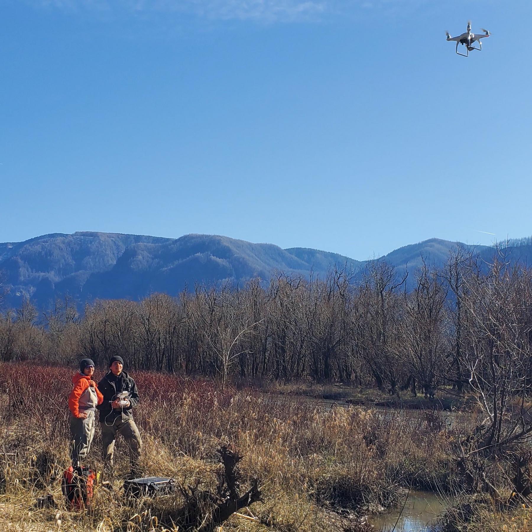
Our Science Team uses UAVs to assess wetland habitat conditions and restoration projects.
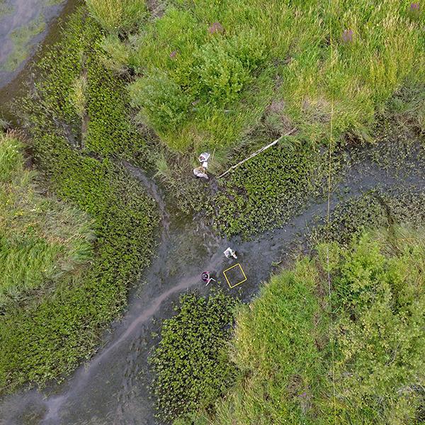
Plant community composition has traditionally been monitored by plant surveys that target only small, representative areas. However, this approach only captures <5% of the total plant community structure and under-represents conditions at restoration sites. Combining UAV data with plant surveys allows us to produce more accurate and comprehensive site-wide vegetation maps.
We utilize Near Infrared (NIR) and RGB sensor data collected by UAVs to generate multispectral composite orthomosaics and digital surface models (DSM) of site elevations. This data is processed and modeled using Pix4d, R, and ArcGIS software. We are currently exploring how these different sensors can be used to improve our approach to restoration and ecological monitoring.
The most recent Multispectral UAV Data will be found in our forthcoming AEMR and EMP reports.
Working with Partners
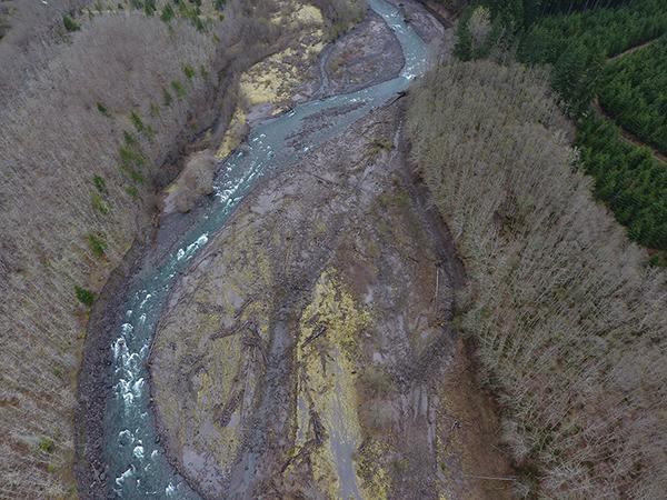
In spring 2019, the Estuary Partnership flew our UAV over five miles of the South Fork Toutle River near Mt. St. Helens for the Lower Columbia Fish Enhancement Group, to help with their restoration projects. This river was impacted by the 1980 eruption and timber harvest but is on the road to recovery. With the UAV data, the Science Team then created this digital surface model to help with developing restoration plans and designs.
Batwater Station Flyover
Watch a flyover of the Batwater Station Floodplain Restoration Project, post construction.