About this location
- NOAA Chart
-
US5PDXNQ
-
Water trailColumbia River
- River Mile
-
58
- Parking Type
-
Day
- Parking Fee
-
None
- Tidal influence
-
Moderate
-
Launch TypeBeach
- Launch Fees
-
None
-
Camping
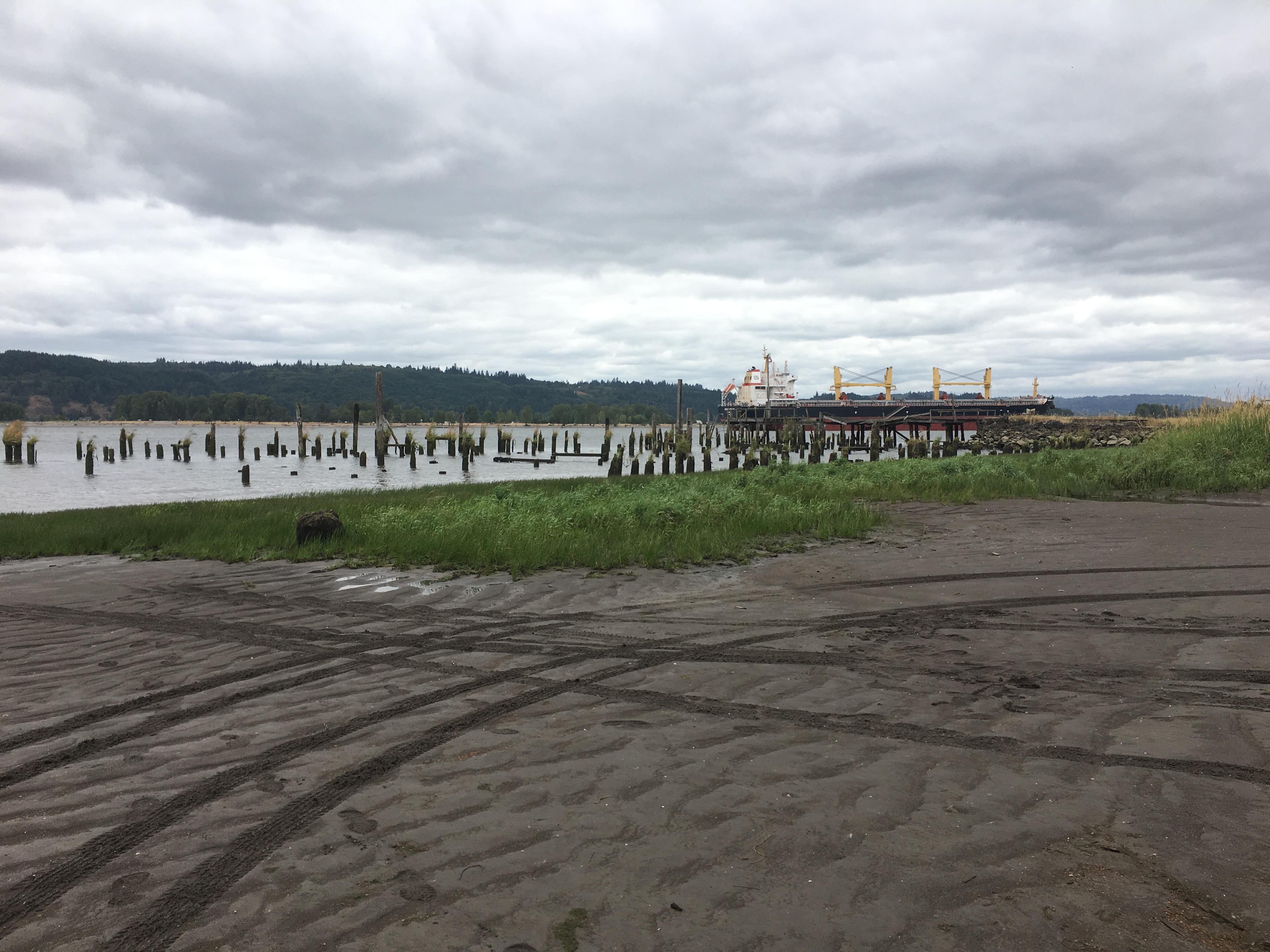
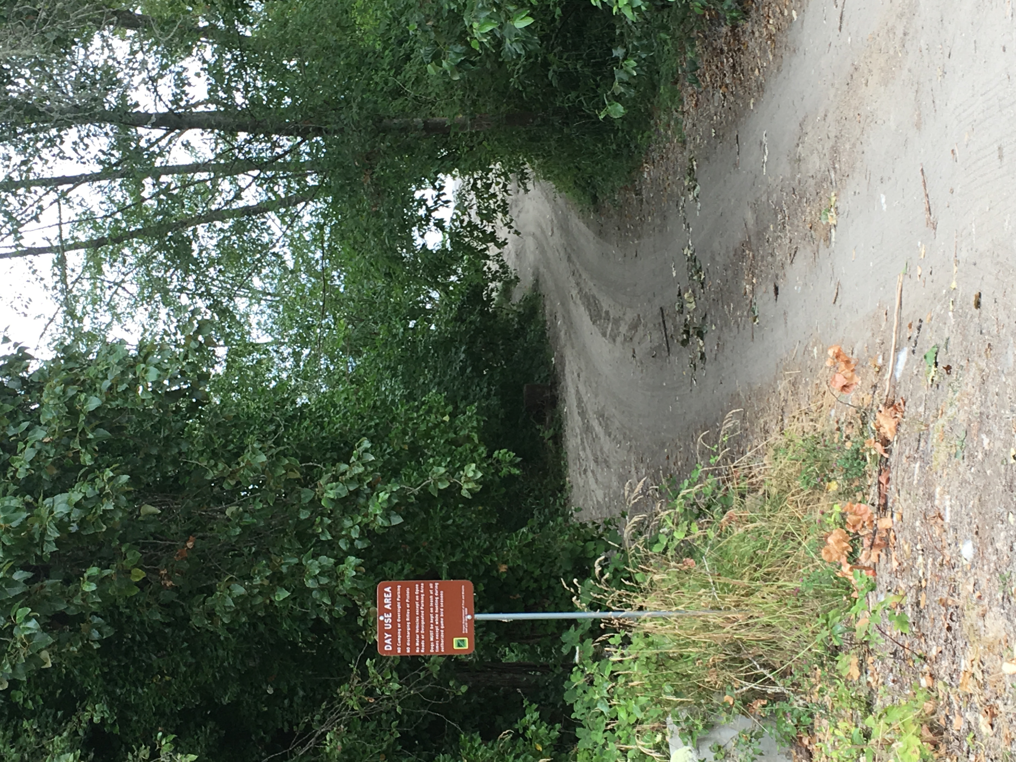
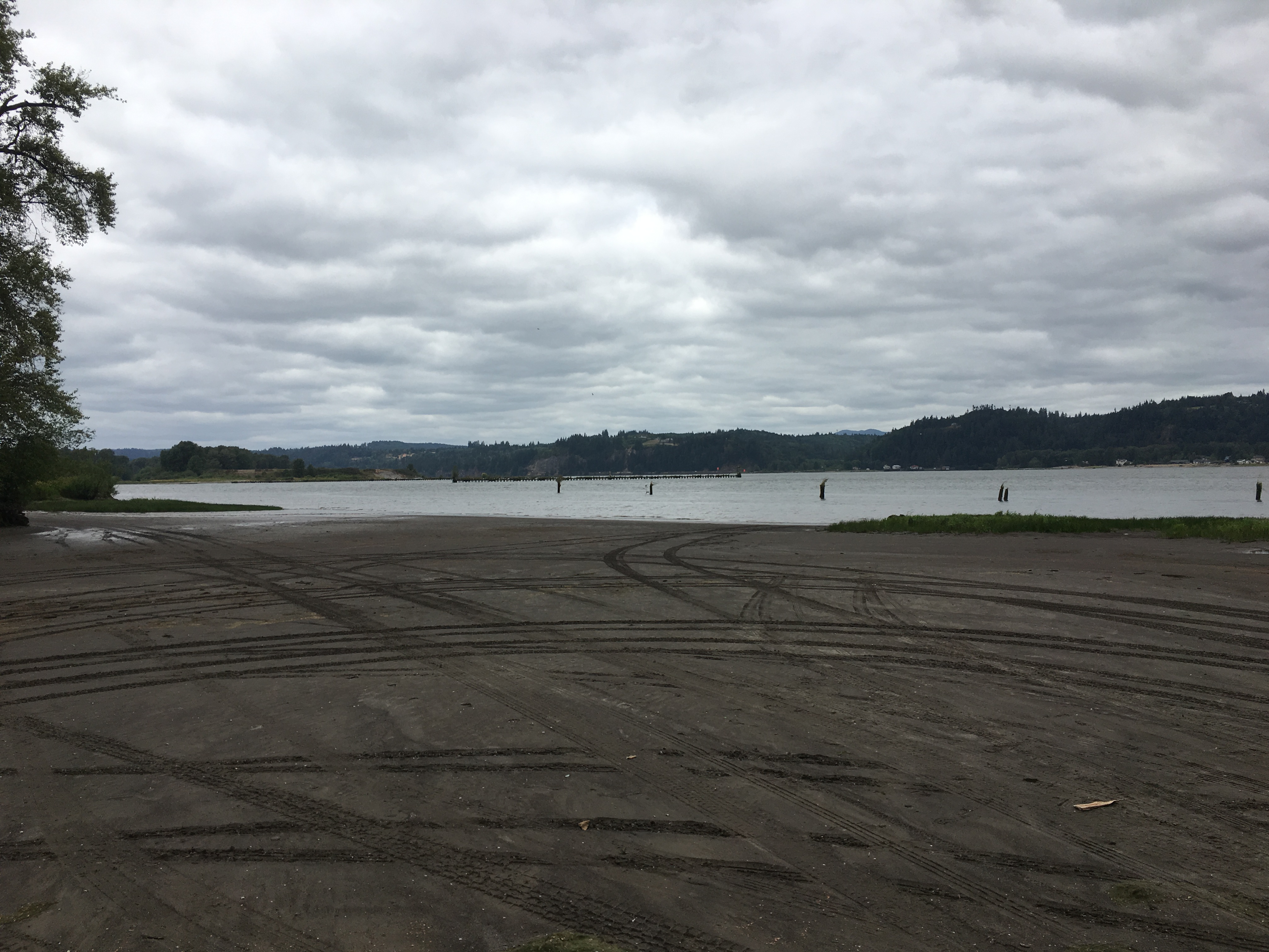
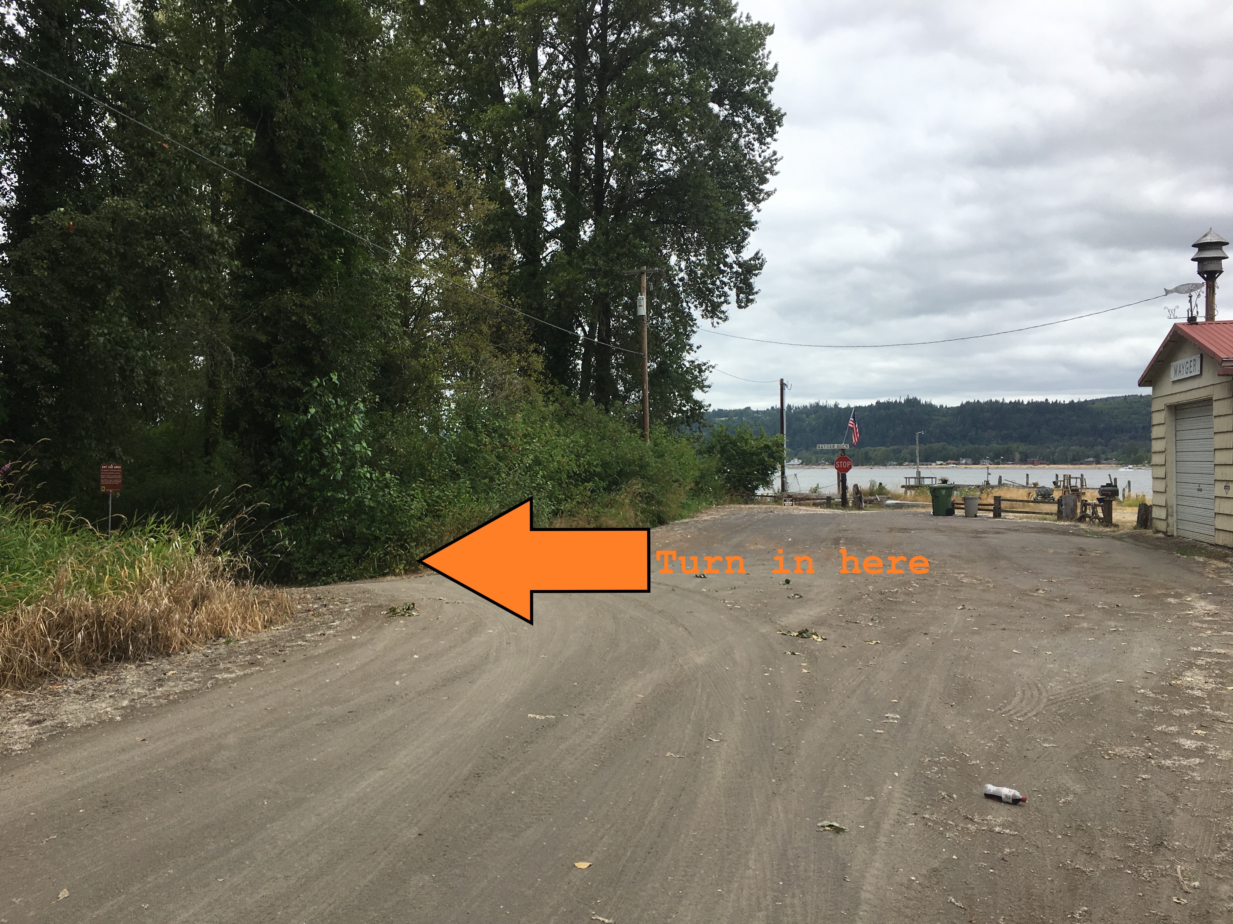
At the end of Mayger Fill Road, a large sandy beach stretches to the left. Some areas have deep sand, so caution is advised. Parking is limited in the winter months, with additional beach parking available during the summer. The site offers a shallow beach launch. Although tidal changes are typically less than 4 feet, the shallow grade results in broad mudflat exposure during low tide—particularly in summer—making launching and landing more challenging. Be aware of exposed pilings and remnants of an old fish station in the area. These can pose hazards, especially during high water or windy conditions.
Site owner
ODFW
Address
Mayger Fill Rd
Clatskanie, OR 97016
United States