About this location
- NOAA Chart
-
Off chart
-
Water trailColumbia River
- River Mile
-
Off river
"On starting the surveys, our first business was to find the beauty spots, or those points where the most beautiful things along the line might be seen in the best advantage, and if possible to locate the road in such a way as to reach them."
-Samuel C. Lancaster, Engineer of the Historic Columbia River Highway
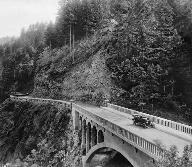
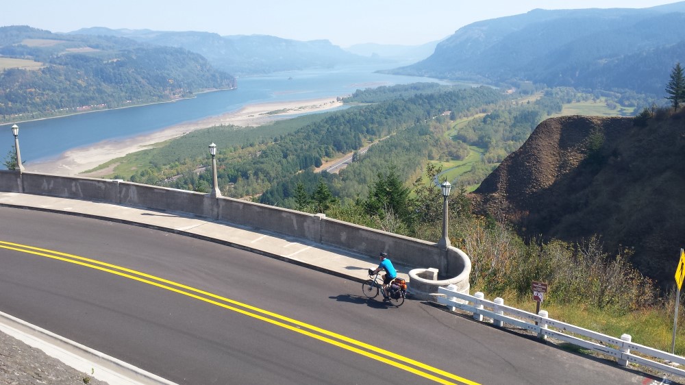
Built between 1913 and 1922 under the direction of highway advocate and visionary Sam Hill and engineer Samuel Lancaster, the Historic Columbia River Highway (HCRH) was the first modern highway in the Northwest. It was a prominent result of the 'Good Roads' movement of the late nineteenth and early twentieth centuries, connecting Portland with eastern Oregon and beyond.
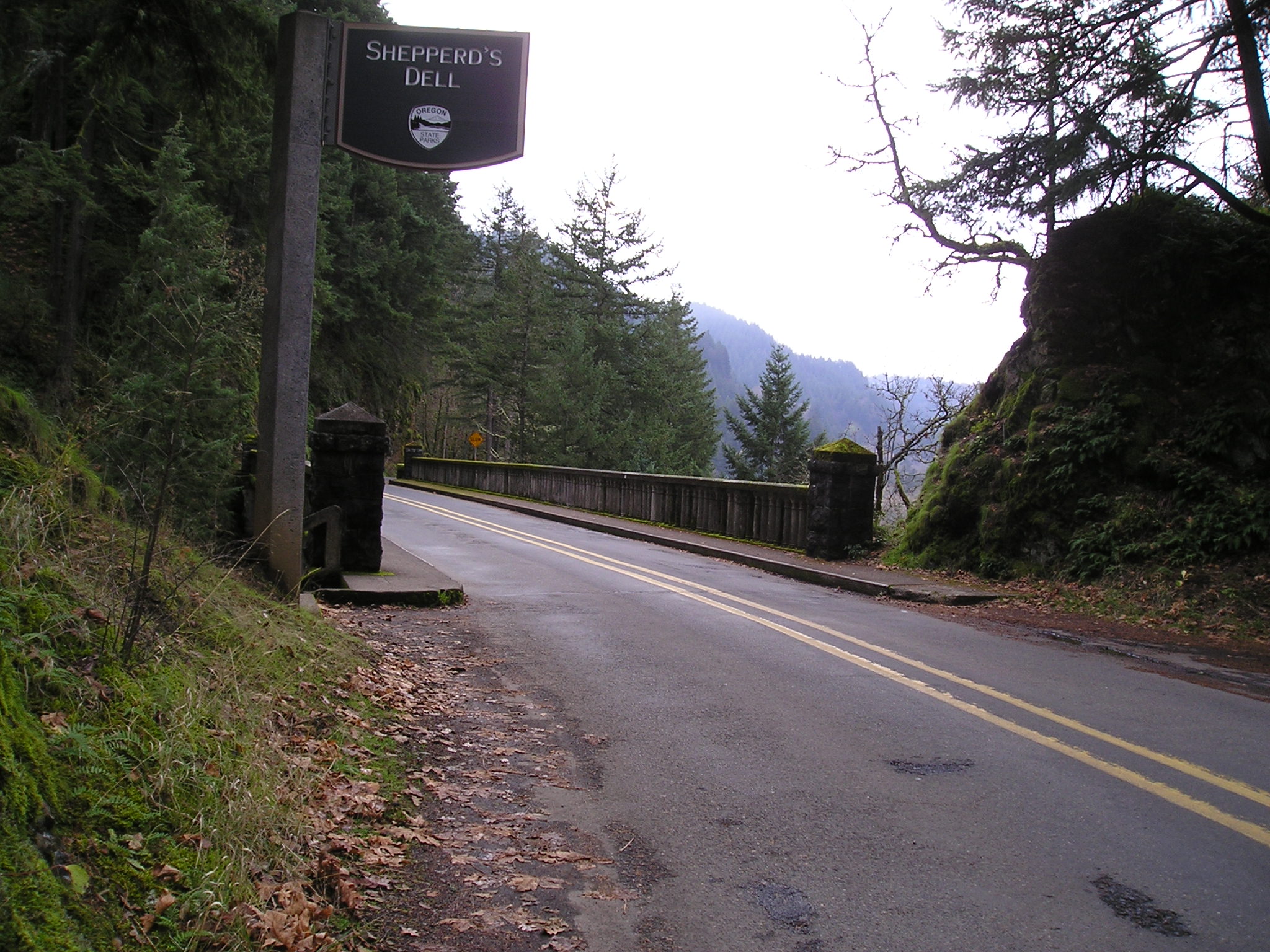
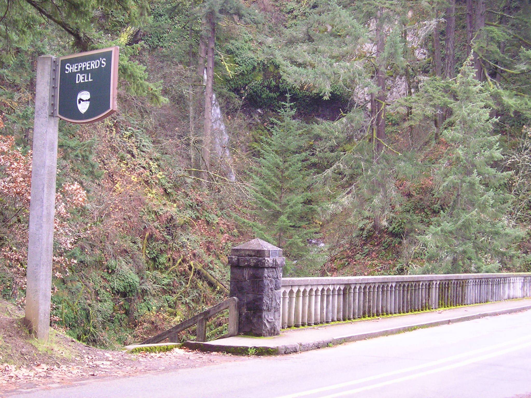
'The King of Roads' was also the nation’s first scenic highway. Meandering 88 miles between Troutdale and the Dalles, it skirted along basalt cliffs, past dizzying waterfalls, and over rushing creeks. Its masonry guardrails, retaining walls, and bridges blended in with and complemented the Gorge’s natural beauty.
When construction started on Interstate 84 in the 1950s, much of the highway’s original route was abandoned for a water-level route closer to the river. Some portions were demolished and bulldozed, others just forgotten.
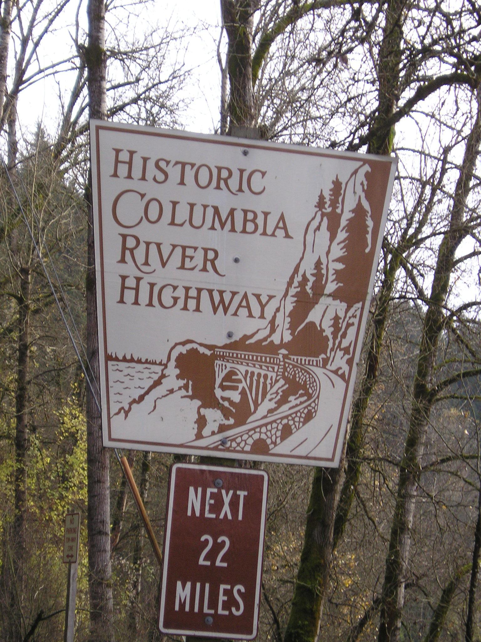
In the 1980s renewed interest in the highway led to restoration efforts that continue today. Today 40 miles of the original route can be driven. The Oregon Parks and Recreation Department has converted other portions to bike and footpaths that intersect national forest trails. Two separate segments provide over ten miles of paved trails.
In 2002 the HCRH state trail was designated a National Recreation Trail. The Bonneville Dam-Cascade Locks section is the most accessible to water trail explorers. The Tooth Rock trailhead is located just south of I-84 off Exit 40 near the Bonneville Dam. From here you can head west to Moffett Creek (1.4 miles) on an unpaved trail or go east on a paved path to the Eagle Creek Fish Hatchery (1.4 miles) and Cascade locks (3.8 miles).
Site owner
Oregon Department of Transportation and Oregon State Parks
Address
OR
United States