About this location
-
Water trailColumbia River
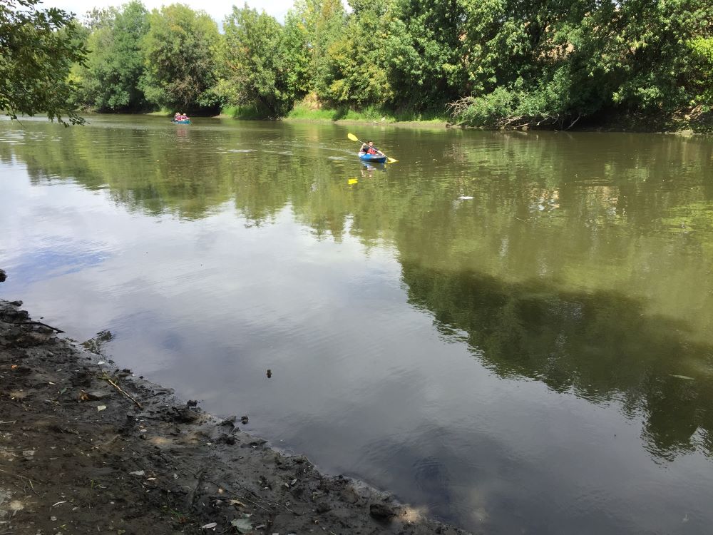
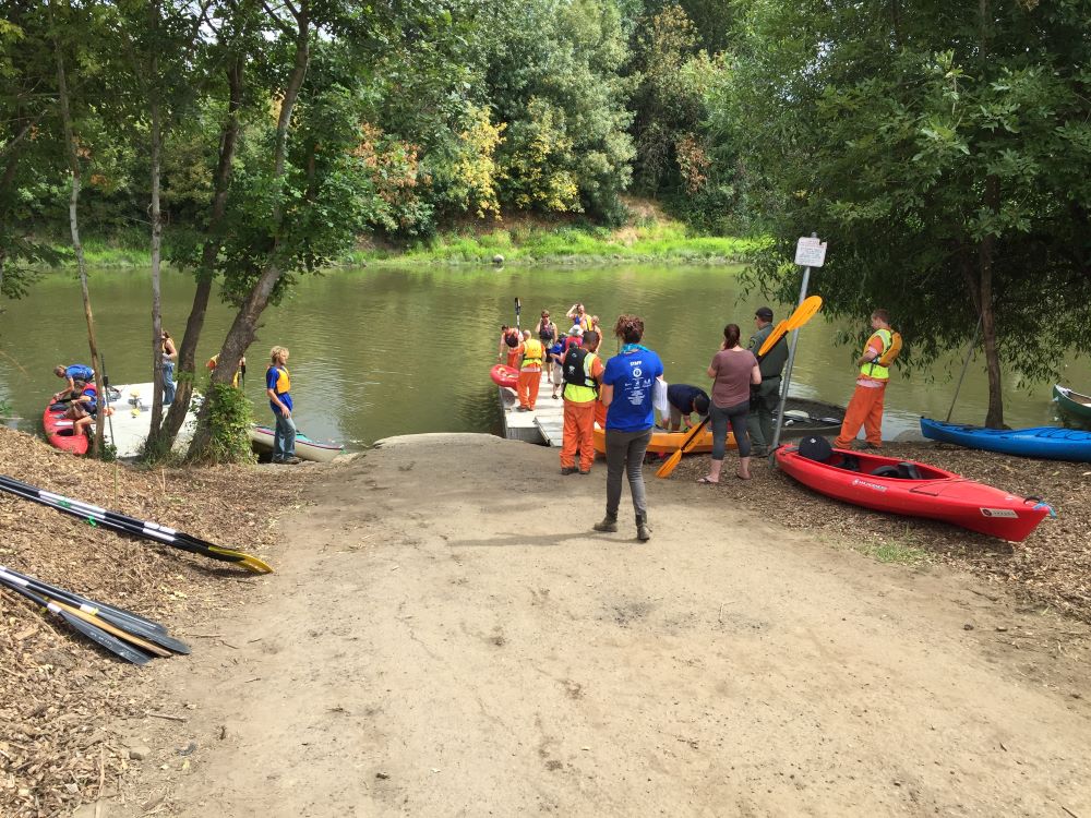
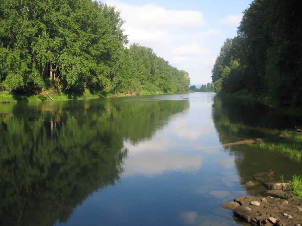
For millenia, whenever mountain snows melted rapidly or heavy rains drenched the Northwest, the rising Columbia River would top its banks and spread out over its floodplain, weaving a braided network of branches and side channels. Soggy backwater sloughs would rise from their slow-moving slumber and absorb the floodwaters of the pulsing river. Between such events, they provided quiet habitat to a diverse cast of wildlife characters. The Columbia Slough in North Portland has changed dramatically since the arrival of European Americans. The eighteen-mile-long channel once ran from the Columbia River near the confluence of the Sandy River to the Willamette River at Kelley Point. Native Americans lived along the slough for centuries, moving to higher ground when the water rose. Today the slough’s 60-square-mile watershed is the most heavily industrialized area in Oregon. Its 3,000 businesses employ 45,000 people, and 275,000 tons of freight pass through the area every year. Dikes and drainage pumps hasten the Columbia’s waters to the sea, keeping the area dry if not high. Despite the intensive development and heavy pollution, the Columbia Slough still provides critical habitat for wildlife in the metropolitan area. From Blue Lake Park near its origin to Kelley Point, a number of parks and pockets of wetland and riparian habitat line its course, providing refuge for beavers, coyotes, otters, western painted turtles, and over 120 species of birds. Although still drained, the lower slough—up to the Peninsula Canal near NW 13th Ave—is still free-flowing and tidally influenced. And with a little work to get around culverts and road crossings, paddlers can still explore the entire eighteen-mile length.