About this location
- NOAA Chart
-
US5WA3CI
-
Water trailColumbia River
- River Mile
-
145
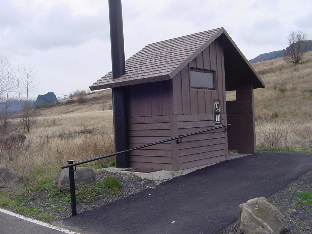
- Restrooms
-
Yes
- Parking Type
-
Day and Night
- Parking Fee
-
None
- Tidal influence
-
High
-
Launch TypeDockRamp
- Launch Fees
-
None
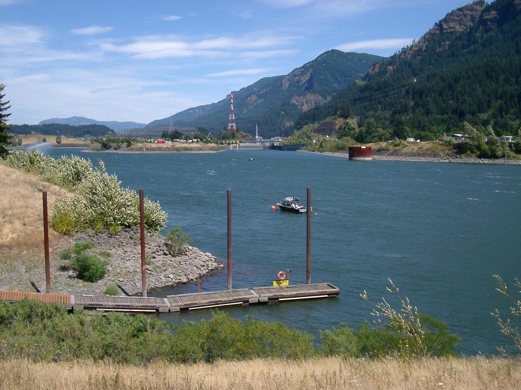
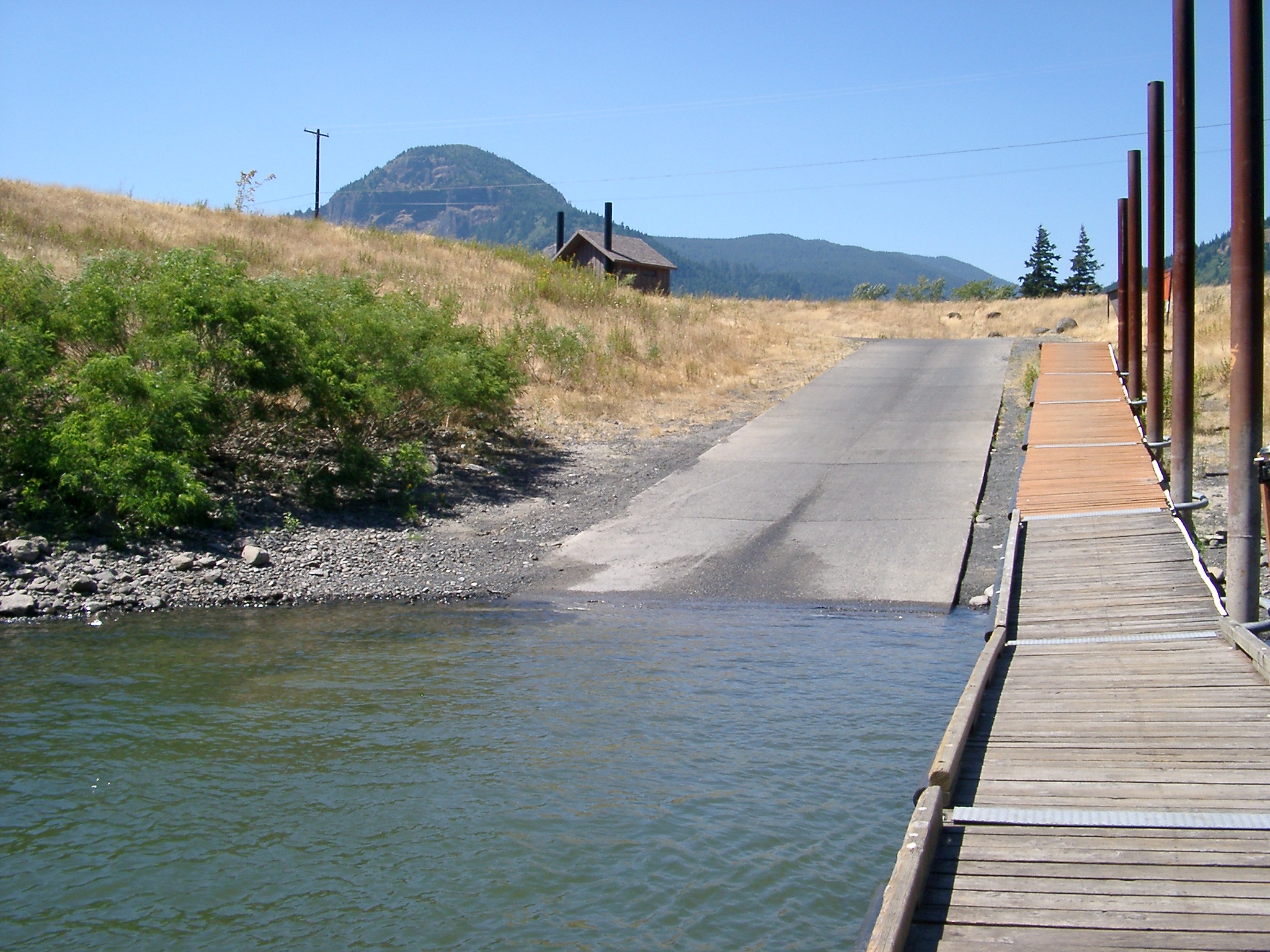
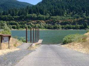
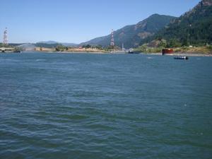
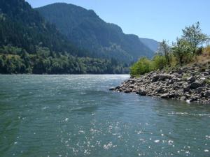
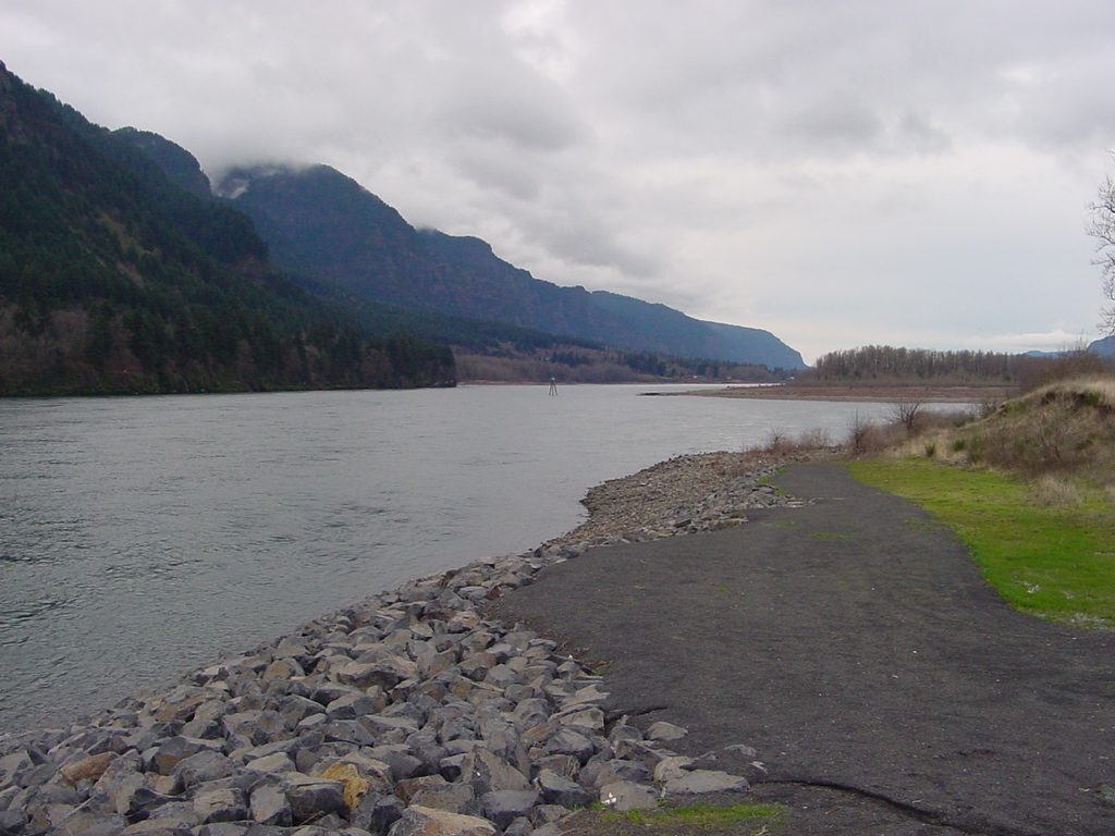
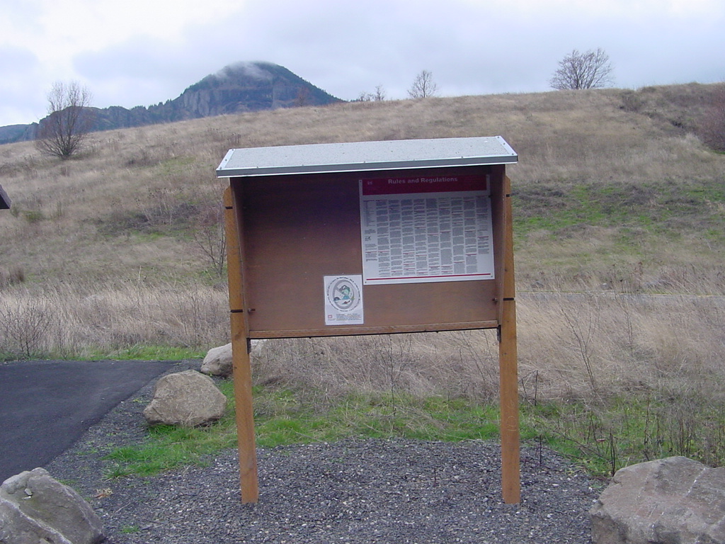
The Hamilton Island boat ramp is located just downstream of Bonneville Lock and Dam on the Washington shore of the Columbia River in the Columbia River Gorge National Scenic Area. The Hamilton Island Boat Ramp is near the former location of the lower end of the Cascade Rapids on the Columbia River. The area has been a hub of activity of thousands of years. Referred to as Strawberry Island by Lewis and Clark, the island marked the lower end of the Cascade Rapids which were a 4-6 mile stretch of rapids requiring a portage. The nearby Fort Cascades National Historic Site provides a walking trail and a number of interpretive signs. Information regarding the Boat Restriction Zone as well as general information is available at the boat ramp. The boat ramp is open 24 hours a day for launching and loading boats. However, overnight camping is not allowed.
Site owner
US Army Corps of Engineers
Address
North Bonneville, WA
United States