Thousand Acres is part of the 1,500 acre natural area at the confluence of the Sandy and Columbia rivers known as the Sandy River Delta in the Columbia River Gorge. The site, owned by the US Forest Service, was historically a dynamic alluvial floodplain with two distributaries of the Sandy River flowing across it and a mosaic of bottomland forests, wetlands and meadows. The site was severely impacted by deforestation, highway and railroad development, hydrology modifications, and cattle grazing. As a result, the floodplain wetland site became disconnected, had poor water quality, and was dominated by invasive weeds. In 2014, the Estuary Partnership worked with the US Forest Service and other partners to restore 77 acres of wetland and forest habitat within the site.
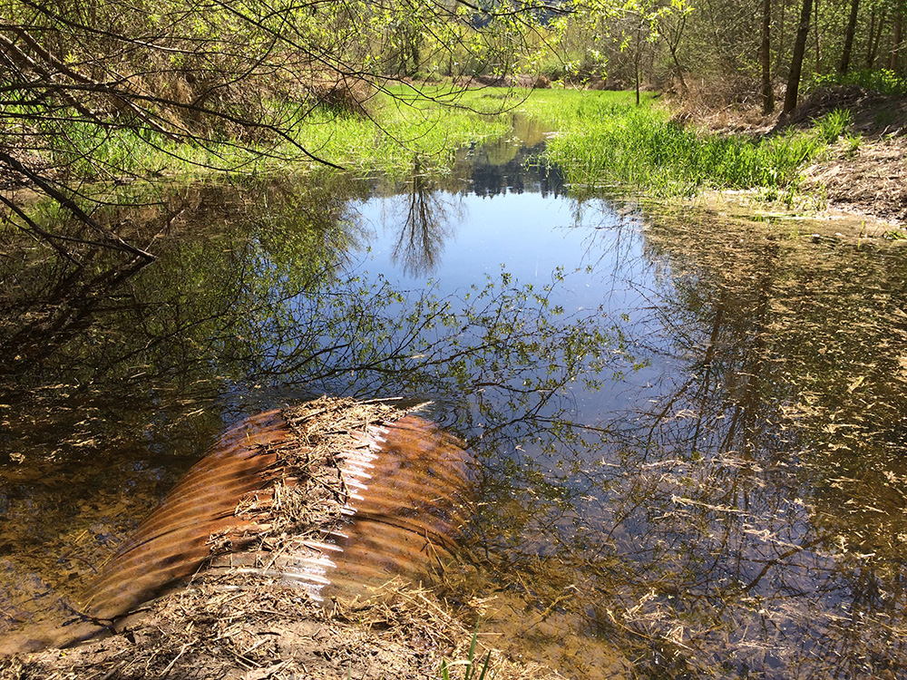
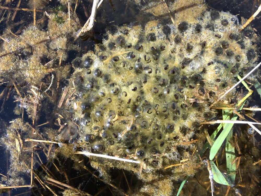
The Sandy River Delta is one of the largest and most ecologically significant undeveloped Columbia River bottomlands in the Portland Metropolitan Area. There are limited opportunities for habitat restoration in the Columbia Gorge, primarily due to geomorphology and current land uses. Not only is the Thousand Acres project site one of the few large, contiguous tracts of intact floodplain under public ownership, but it is known to support several stocks of salmon. The site also supports a variety of other native species, including beaver, great blue heron, red-legged frogs, painted turtle, and a variety of waterfowl.
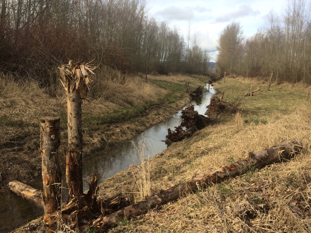
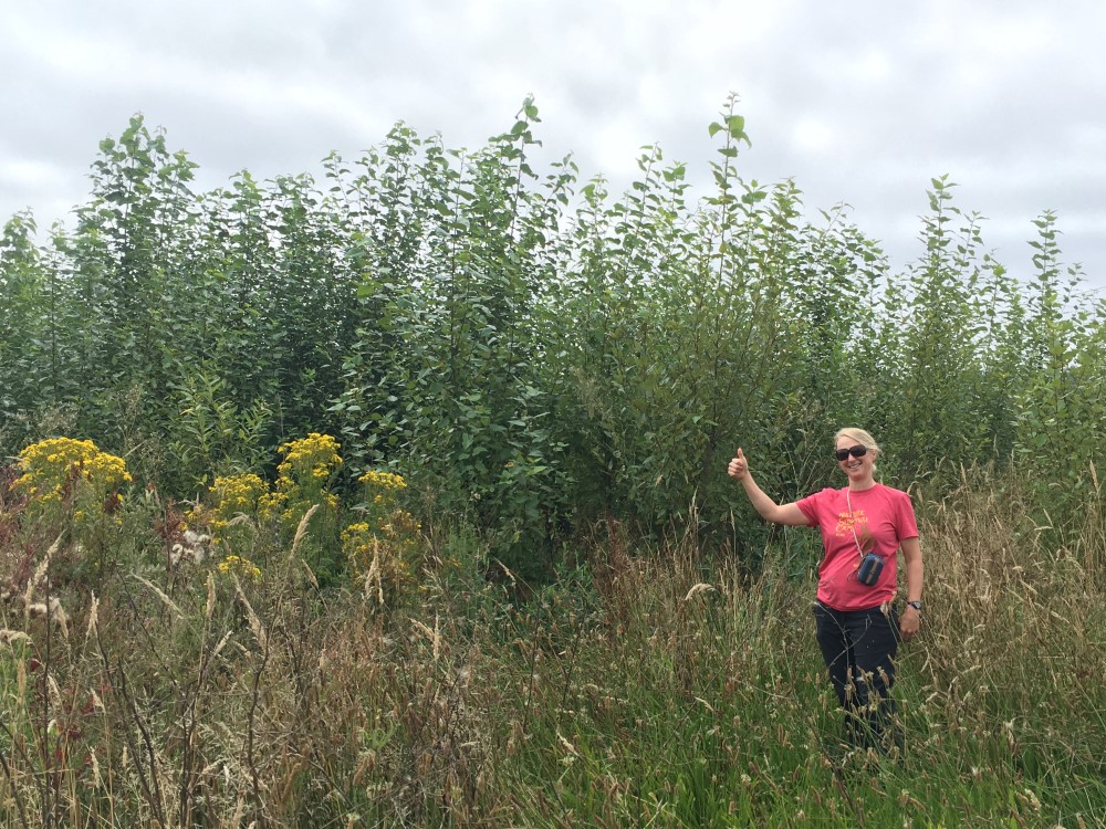
For this project, crews from Aquatic Contracting removed an old tide gate and an unmanaged water control structure to restore natural hydrology and juvenile salmonid access to a 28-are floodplain wetland along the Columbia River. This re-connected a network of wetlands and channels for migrating salmon to feed, rest, and escape extreme conditions of the mainstem Columbia River. They placed more than 100 pieces of large wood and root wads to increase habitat complexity. And 75 acres of riparian plantings by Ash Creek Forest Management helped stabilize soil, reduce erosion, attenuate peak floodwaters, improve groundwater storage, filter toxics, and reduce temperatures – all improving water quality.
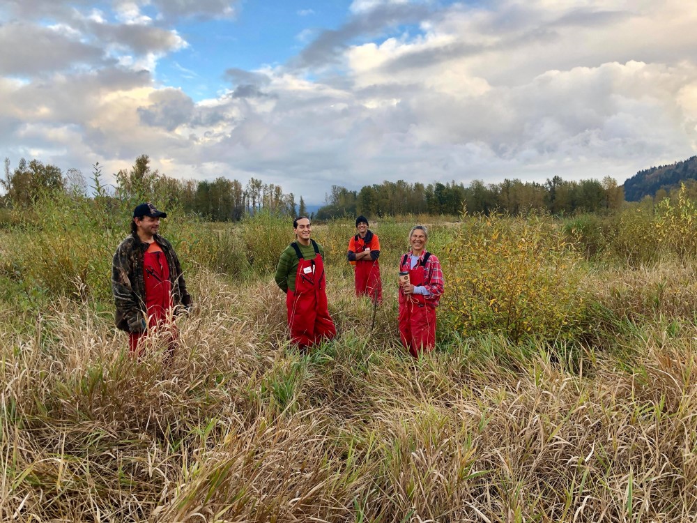
In addition to this large-scale restoration project, we continue to work with the US Forest Service, volunteers, and other partners to restore native vegetation at the Delta. The Estuary Partnership is part of the Sandy River Delta Partners, a group of organizations and volunteers that work together to protect, restore, and educate the community about this important site.
The Sandy River Delta is a special natural area of rich biological and cultural connections. These are public lands within the Columbia River Gorge National Scenic Area. It is up to us all to conserve and take care of this vital and unique place. YOU are a steward of this place and we need your help to “leave no trace” while you volunteer, hike, trot, stroll, run, and play.
Additional Project Contractor: ESA provided engineering design services.
Historic aerial photos

This 1935 photo shows relative pre-disturbance conditions at the site, including significant forest cover, ponds, and wetlands, including the long linear “Wetland D” and “Horseshoe Wetland,” and the North and South Channels that connect them to the river.
 By the time of this 1948 photo (right), significant alterations have occurred. Forestland has been cleared, and vehicle tracks are visible throughout the site. The North Channel between the wetlands and the river was deepened and widened by excavation. The South Channel was excavated to drain water away from the wetlands adjacent to the highway out to the river. Highway construction is shown along the southern boundary of the site. Vehicle crossings of the channels indicate that there may have been culverts or other structures installed to maintain vehicle access. Alterations from the highway construction are largely responsible for the current site conditions.

In this aerial photo prior to project construction, invasive weeds (primarily reed canarygrass and blackberry) dominate the site, while the major hydrologic features such as Wetland D, Horseshoe Wetland, and the North and South Channels appear in essentially the same alignment.
-
Actual Miles Restored
2.00
-
Reach
G
-
Start Year
2011
-
End Year
2014
-
Total Acres
77
-
Type
Habitat