The Columbia River is the largest river system in the Pacific Northwest, originating in Canada and flowing 1,253 miles to the Pacific Ocean. The river originates in Columbia Lake in British Columbia, 2,690 feet above sea level.
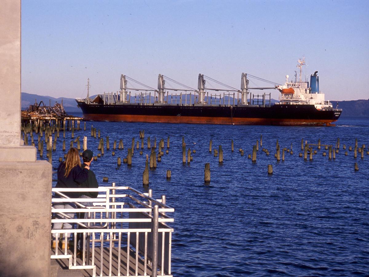
The lower Columbia River flows 146 miles from Bonneville Dam to the Pacific Ocean. It is arguably the most important reach of the entire Columbia River, nurturing fish and wildlife in the transition from fresh water to salt water, passing through major cities and towns, flowing through wildlife refuges, supporting ports and a shipping channel, and providing valued recreation opportunities.
Hydrology & Habitat
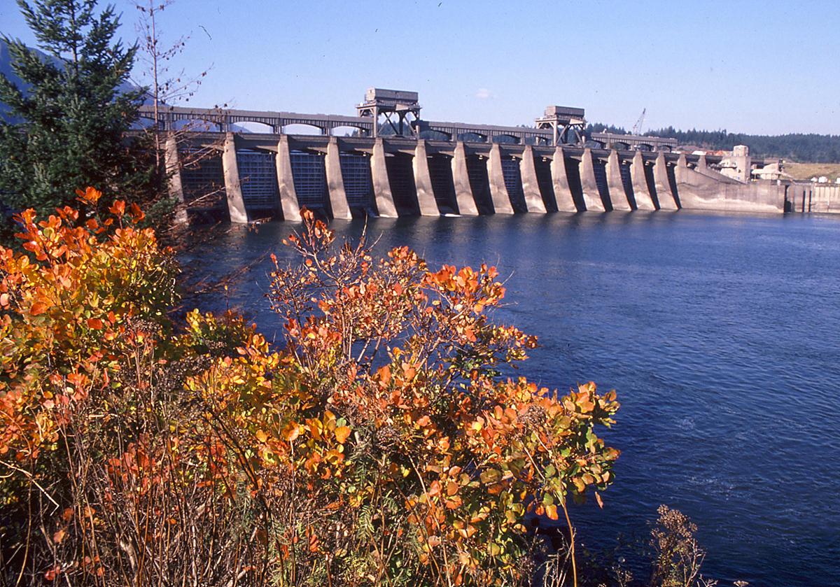
The Lower Columbia River and its tributaries have more than 30 dams and dozens of smaller flow control structures for hydropower, flood control, irrigation and transportation.
Since the 1880s, dams, dikes, agriculture, and other changes to the river resulted in a loss of over 70% of vegetated tidal wetlands and 55% of forested uplands. These habitats are critical for keystone species like salmon.
Historically, the annual spring floods aided in juvenile salmon migrations and transported large quantities of sediments, nutrients, cold water and associated organic matter downstream. Today, river flow is significantly altered by operations of the hydropower system. Changes include a reduction in the annual flow, reduced spring floods, and altered timing of flows.
Extensive floodplain diking has severed the historic connection of habitat with the river, eliminating the ability for salmon and other aquatic species to access the floodplain and reducing indirect benefits to aquatic species (e.g., export of organic matter for food webs).
The largest tributaries of the lower river by volume are the Willamette River (37,400 ft3/s average), the Cowlitz River (9,140 ft3/s), the Lewis River (6,125 ft3/s), and the Sandy River (2,257 ft3/s).
The average flow at the mouth is 265,000 ft3/s (7,500 m3/s). It is the largest river by volume flowing from the Americas into the Pacific Ocean, and is the fourth largest by volume in the United States.
The lower Columbia River and estuary have wet, cool winters and warm, dry summers. Snow melt has historically caused high freshwater flows into the estuary in May and June, though shifting weather patterns have been pushing this spring freshet earlier. Winter precipitation can also cause high flows between November and March, though the region is experiencing more variable precipitation and more intense storms, changing the predictability of these patterns. In addition, more precipitation falls as rain than snow, diminishing the snowpack that has historically been a crucial source for cool water during warm summer months.
Wildlife
The Estuary is one of the most important areas within the Pacific Flyway for migrating shorebirds and neotropical bird species, and it provides key wintering waterfowl habitat. The area is particularly important for the dusky Canada goose, a subspecies that winters only along the lower Columbia, in the Willamette Valley, and at a few locations on the Oregon coast.
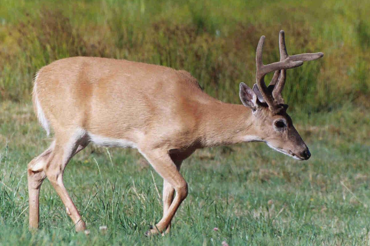
The Columbian White-tailed deer is the only subspecies of white-tailed deer that lives west of the Cascades Mountains, and used to inhabit a broad swath of what is now southwest Washington and western Oregon. Their population was nearly wiped out by habitat destruction due to development and agriculture. Two distinct and geographically limited populations existed when the species was listed as endangered. Thanks to translocation and habitat recovery, the species is on the road to recovery and was downlisted to threatened in 2016. Read more about deer recovery.
Thirty-two species of plants, fish and wildlife that live along the lower Columbia River are now listed under the Endangered Species Act.
Salmon
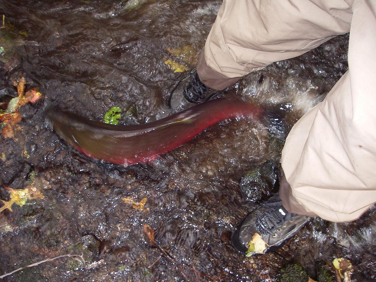
Historically, the Columbia River Basin was one of the largest producers of Chinook salmon and steelhead in the world. Researchers estimate that 8 to 16 million Pacific salmon migrated up the Columbia River System each year to spawn before the mid-1870s. In comparison, total current returns of wild fish number less than 1 million annually. Today there are 13 population groups of salmon and steelhead within the Columbia River basin listed as threatened or endangered under the Endangered Species Act.
All salmonid populations within the Columbia River Basin utilize the estuary as a critical migration corridor, passing through the estuary twice in their lifetime.
People
Traditionally many Native peoples have lived, traveled and/or traded along the lower Columbia River for millenia. Tribes including the Chinook, Wasco, Cowlitz, Yakama, and other Chinookan speaking peoples are the original inhabitants of this land. Currently, the Chinook Tribe is still fighting for recognition by the federal government.
More than 8 million people live in the Columbia Basin, and that is expected to increase to 10 million by 2030.
Invasive Species
The Columbia Basin is the only large river basin the United States that has not yet been infected with invasive zebra and quagga mussels. State agencies spend millions of dollars to inspect boats and implement other measures to protect our region from the shellfish, which could cause trillions of dollars in damage to infrastructure.
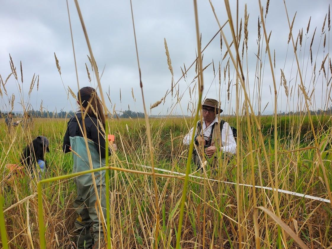
One of the primary and most pervasive invasive plants we see in wetlands is reed canarygrass (below). This bunch grass was originally introduced for use in agriculture and as a forage for cattle. But in the Pacific Northwest it quickly takes over, especially along waterways. The grass grows in large swaths of monoculture, reaching up to 6 feet tall and developing sod more than a foot thick.
Famous Floods
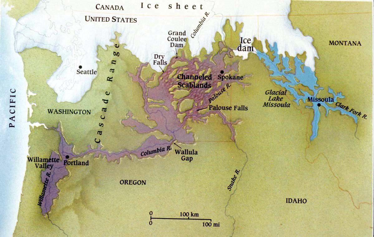
The dramatic landscape of the Columbia Gorge was formed by the Missoula Floods, a series of floods that occurred around 15,000 years ago, making the area's features actually very young in geologic terms. At that time, the Cordilleran Ice Sheet dammed the Clark Fork River, forming the massive Glacial Lake Missoula behind a 2,000 foot tall wall of ice. Eventually the waters burst through the ice and raced across modern-day Idaho, Washington, and Oregon. This catastrophic flooding repeated dozens of times over the course of around 2,500 years, forming the dramatic cliffs and flooding the Willamette Valley. Read more about the Missoula Floods.
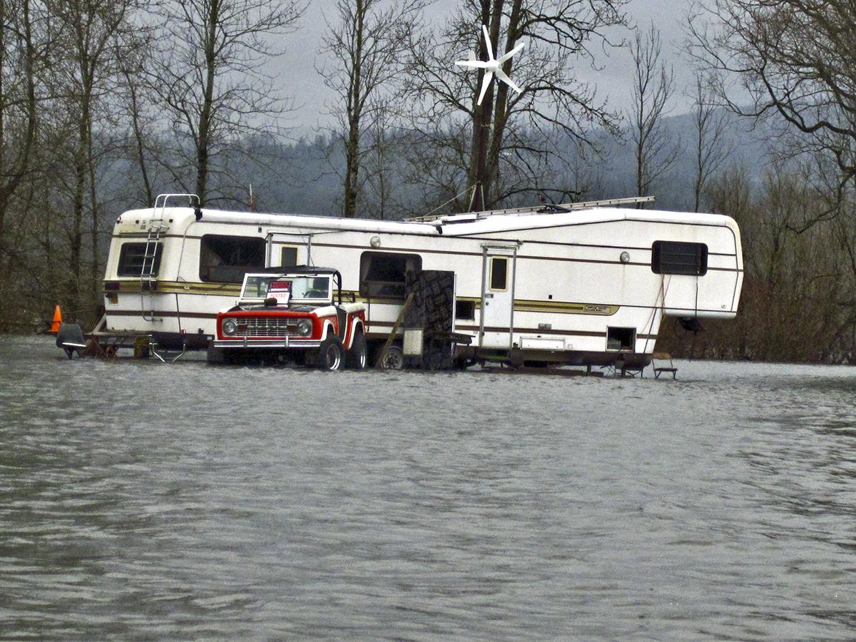
Arguably, the most famous flood of the contemporary lower Columbia River is the Memorial Day flood of 1948, which completely destroyed the city of Vanport, located in what is now North Portland. The city had been constructed as housing for workers in the Kaiser shipyards, and at the time of the flood was the second-most populous city and the most racially diverse city in Oregon, a state that was known for its racist history of Black exclusion laws and red lining. On the afternoon May 30, 1948 The Columbia River, swollen by spring rain and melting snow, reached 15 feet above its floodplain before breaching through a railroad berm and decimating the city. The floods killed 15 people and left nearly 18,000 people homeless. Read more about Vanport and the flood.
Economics
The Columbia River is a working river and tens of thousands of people rely on it for their jobs.
The Columbia-Snake River System carried more than 56 million tons of international trade in 2018, with a value of more than $21 billion.
The Columbia-Snake River System is #1 in the U.S. for wheat exports and #2 for corn and soy exports.
The System is #1 on the West Coast for wood, mineral, and auto exports.
The cruise industry on the Columbia River has steadily grown, and in 2017 carried more than 18,000 passengers along the Columbia and Snake Rivers.
The Columbia River irrigates more than 6,000,000 acres of agricultural land.
40% of all US hydropower is derived from the Columbia and Snake Rivers.