 The Reference Site (RS) study is part of the research, monitoring, and evaluation (RME) effort developed by the Action Agencies (Bonneville Power Administration, U.S. Army Corps of Engineers, Portland District, and U.S. Bureau of Reclamation) in response to Federal Columbia River Power System Biological Opinions. As part of this program, we have established a suite of reference sites to help meet the goal of understanding and restoring wetland habitat. The data collected at these reference sites from 2005 through the present were analyzed in this study to meet two primary objectives:
 - Developed the basis for the distribution of vegetation characteristics of the region using available ecological and hydrological data
- Provided verification for the observed hydro-vegetation zonation
- Provided the elevation ranges of selected pland species and communities for the different hydro-vegetation zones of the LCRE
- Compared reference sites to restration sitees within each of these zones, evaluating several metrics including accretion rates, elevation, temperature, vegetation and channel morphology
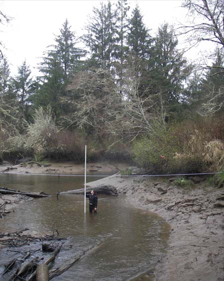
The 2010 Final Report and Site Summary provides detailed information about the 43 Reference sites that were monitored, including data graphs and tables for all metrics that were monitored.
The 2011 Restoration Analysis provides an analysis of the data collected for this study to serve 2 primary objectives: 1) to inform restoration planning and design by quantifying the ecological and hydrological conditions necessary for development of wetland plant communities and tidal channel networks, and 2) to evaluate the effectiveness of existing wetland restoration actions by comparing restoration and reference site monitoring data.
For more detailed, location based information for any Estuary Partnership Reference Site Study site, click here to view our interactive Monitoring Map.